First published on May 15, 2015 • Last updated on May 30, 2017
This page may contain affiliate links; if you purchase through them,
we may receive a small commission at no extra cost to you.
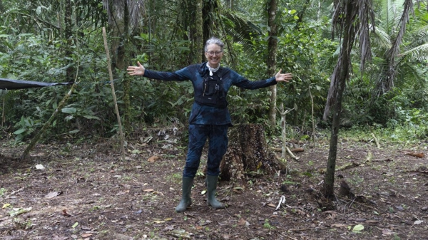
Guagua Pichincha is the tallest of two peaks that make up the volcano called Pichincha. The name Guagua means child in Quichua and this youngest of two craters last erupted in 1999. Today, the volcano is still active and occasionally sends up puffs of steam and a stench of sulfur.
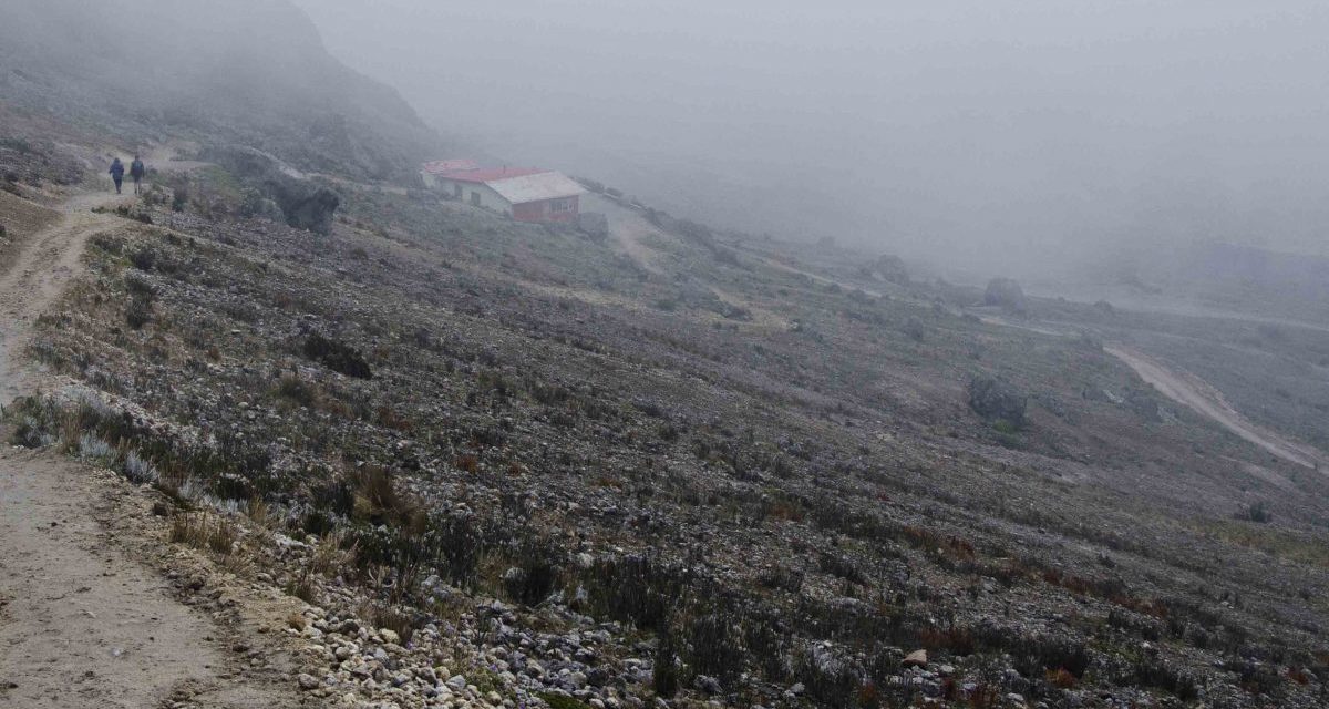
Many people think the only way to climb Guagua Pichincha is to hike from the small town of Lloa over Andean foothills and up the steep slopes of the mountain itself. But dirt roads provide another option. It is possible to drive almost to the crater rim to the Refugio of Guagua Pichincha, a small building with about a dozen bunkbeds, a fireplace, a small kitchen, and an even smaller bathroom.

Your first step is to get to Lloa. The good news is that the drive is well signed along the Mariscal Sucre through south Quito.
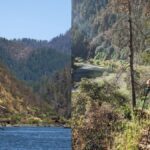
The drive from Lloa is about 8.3 miles. From the visitor’s center (set your odometer here), you will drive straight out of town towards the soccer stadium. Pass it and continue up the hill. You will see an archway in the distance. Drive through the archway and past the Hacienda Concepción Monjas, on your left (just under a mile). This road will force you to turn left at the end.


Continue driving straight (passing some smaller side roads, including one with a sign to Cascada Chirincho). The right turn you need is marked by a new sign directing hikers towards Guagua Pichincha (2.5 miles from visitor’s center taking the road we recommend).
From here, it is a pretty straight shot up the mountain. If given a choice between roads, go up the hill, not down. After you pass a gazebo with a sign advertising a wildlife area, the road will appear to split at two different locations. But all choices end up at the Refugio. Take the roads that are less steep and less rutted and your car will be the happier for it.
These are gravel and dirt roads that have been eroded from rainstorms and are dusty in dry weather and muddy in wet. Occasional piles of gravel hint that someone would like the road to be repaired at some point in time. But don’t be hopeful. Prepare for the worst and you won’t be disappointed.

You will need a 4WD, high clearance vehicle for this trek. Make sure the gas tank is full. Not that you will need it to get there and back but because it is easy to make a wrong turn and wander the back roads for an hour or two (we know from our first experience trying to find this route before the hiking sign went up). Your car or truck will need to be in good shape and be prepared for a lag in power. Cars at this high altitude struggle to combust fuel because of the scant oxygen (you will be driving to almost 15,000 feet). Be patient and consider resting your car at any of the flat spots on the road. No need to overheat an engine in your rush to get to the summit.


We recommend getting an early morning start for this trip. First, the city streets of Quito become very crowded, even on the weekends, and you will need to cross over to south Quito to reach Lloa, the starting point. The earlier you start, the less traffic you will have to face. Second, mornings tend to be clearer than afternoons in these mountains. This is not a hard and fast rule. But if you are going to have clear weather, it is more likely to happen in the early mornings. Traveling from North Quito near the American Embassy it takes us two hours to reach the Refugio. And that is with an occasional stop for a photo or two.
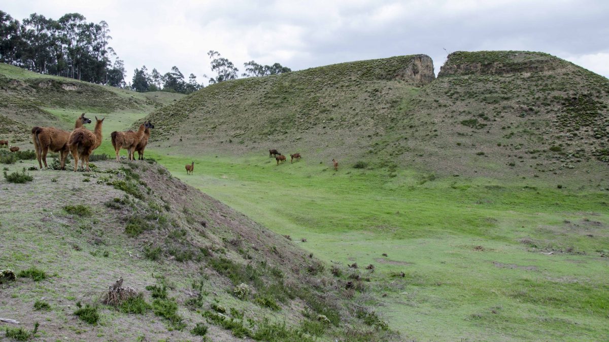
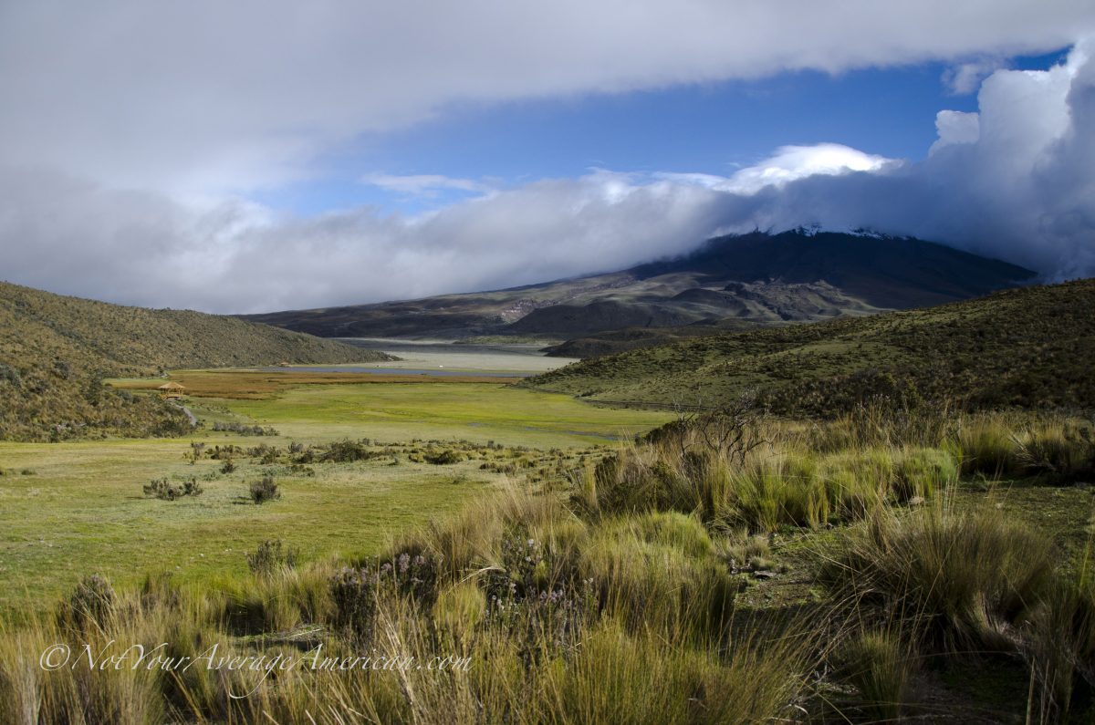
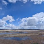
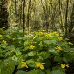
We recommend you take water and high energy snack food, especially if you plan to hike once you arrive. And even if it is cloudy when you get there, wait. The winds are almost guaranteed to move the clouds, especially in the mornings. You will probably see Quito spread out below, the peak called El Padre not far from where you are standing, and possibly the slopes and mountain peaks of Guagua Pichincha herself. It is possible to see the Andean Snipe among the rocks, the Ecuadorian Hillstar Hummingbird among the orange flowered bushes, and, on rare occasions we are told that condors will fly by. All of this and you haven’t even hit the trail yet.


Lloa
Refugio de Guagua Pichincha
Pull Out with Park Signs
Main Road to Refugio
Make sure you head up this road towards the mountain. There should be signs marking the way for hikers that should also work for those driving the dirt road.
Right Turn
This is an important right turn. On our last visit, it was signed. On our first visit, it was not.

Stay to the Left
Stay to the dirt road on the left. This might be signed.
Information For Your Trip
This is a true backroads trip and you should only attempt this if your vehicle is in good condition. Be prepared for dusty roads in the dry season and muddy conditions in the rainy season. Carry emergency gear including plenty of drinking water, clothing for cold weather conditions, and high energy food. If hiking this route, I recommend making this an overnight trip.
- Direction by Car, use WAZE and look for Lloa, Pichincha and then use the attached map for further directions.
- Direction by Public Transportation Cooperative Trans Lloa leaves from La Mena 2, in South Quito, every half hour. Once you arrive in Lloa, you will have to hike to the Refugio unless you have hired a local driver to take you the rest of the way.


Hi! Quick question.. If planning to turn this into an overnight trip in order to hit all three summits (planning on bringing camping gear, food, etc.) is there a natural water source anywhere that is available? I have a water filter/purifier that i would like to carry rather than a large amount of water on the first and second day.
While we’ve not hiked that entire route, I would hesitate to say that you will find a natural water source along the route. There may be a seasonal creek or two. However, this part of the highlands is more old ash, scree, and bushes than bog and marsh. There is a tank for water at the Refugio, but we’re not sure how often it is refilled. So as much as I hate to make you carry the extra weight, I recommend taking what water you need for two days.
We’d love to hear how your hike goes! If you feel inclined, drop us another comment or send an email to angie@notyouraverageamerican.com
Amazing photos! Do you think I could get a taxi or driver to take me to Refugio? What about to Llola from Quito?
We (group of 3) are thinking of going to Lloa on Sunday, December 4th and hiring a car to the refugio. Then hiking up along the crater rim to the true summit of Guagua Pichincha and hiking back down to Lloa. If you are solo, we may be able to meet up and share costs.
Last week, I did the hike from the Teleferiqo over Rucu Pichincha to Guagua Pichincha and down to Lloa in a day. From the Guagua refugio to Lloa is all down hill – it is long and tiring, but not bad.
You might be able to hire a taxi but I would ask in Quito and hire a driver for the entire day. Be sure that the driver understands that you want to go to the refugio of Guagua Pichincha, not just to Lloa. Also, be warned that the view of the crater during the rainy season is often non-existent.
Thanks for the instructions! Great as always. I might add that there are 2 blue signs for Rucu Pichincha when entering Lloa and in Lloa. Following those leads to Guagua. Also, depending on the horsepower of your car, you may need to limit the number of passengers. For us, the magic number was 2.
Great suggestion on the horsepower… we did have a friend who had issues but she also had a fully loaded car.
As to the signs in Lloa, I wonder if they are new? Gives me an excuse to go visit again and take some pictures 🙂
Thanks, Sal!
I’ll need to go back again as well. While I brought my camera, i left the battery charging at home. The pictures i took were from my iPhone.