First published on November 3, 2014 • Last updated on March 16, 2020
This page may contain affiliate links; if you purchase through them,
we may receive a small commission at no extra cost to you.
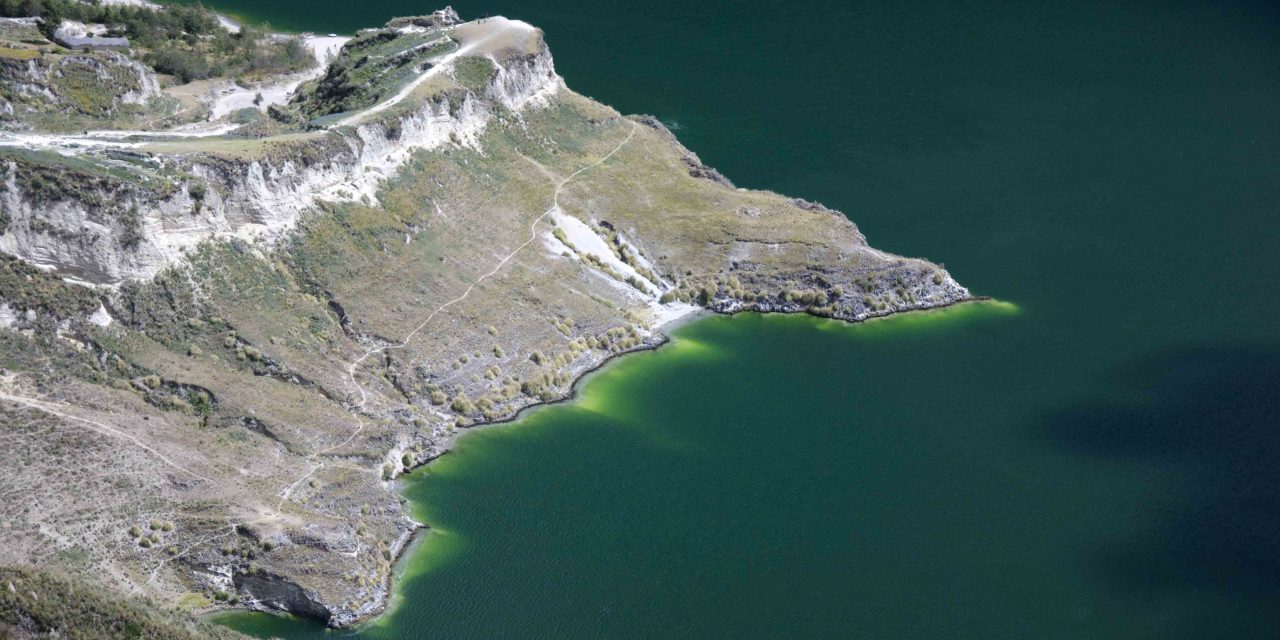
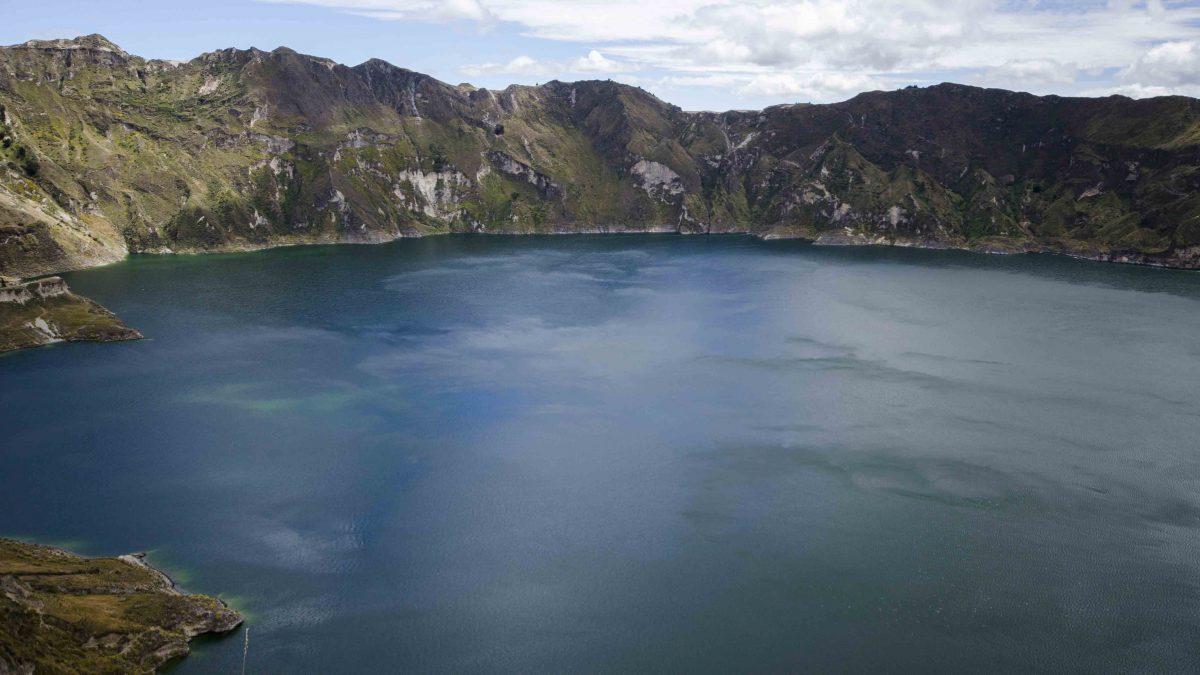
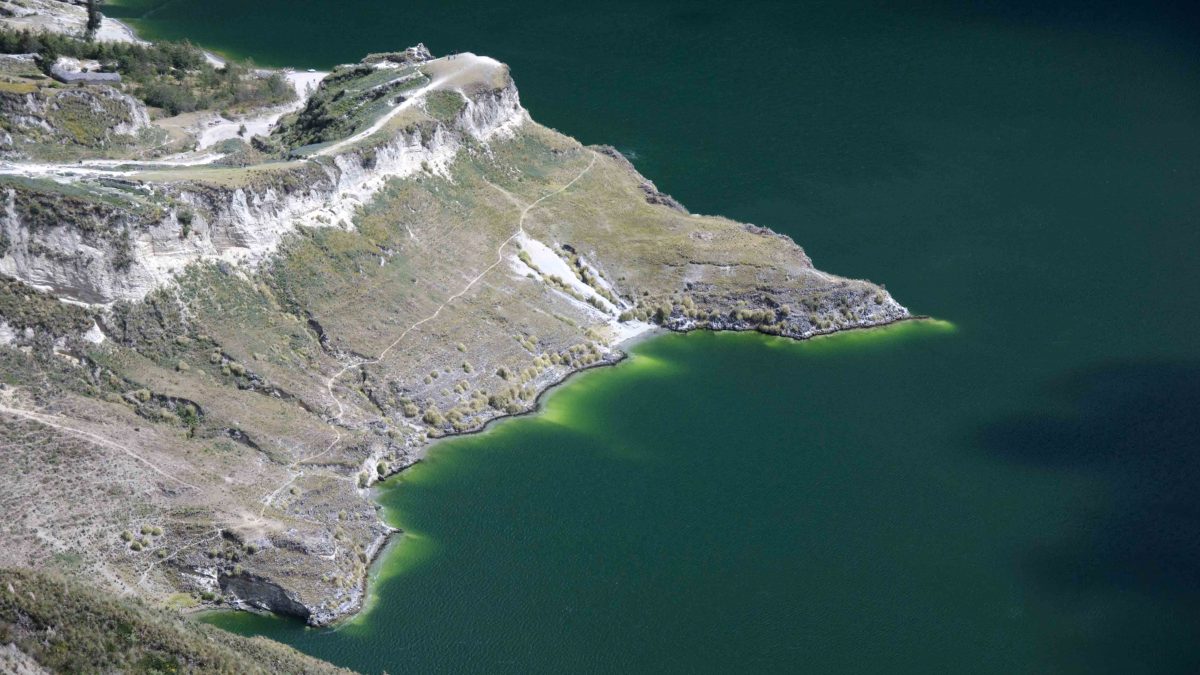
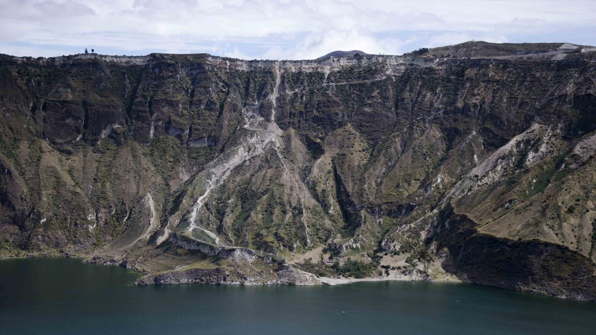
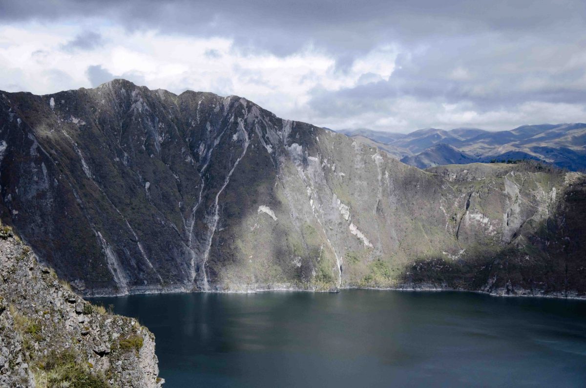
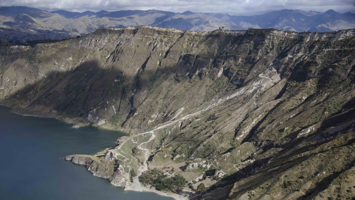
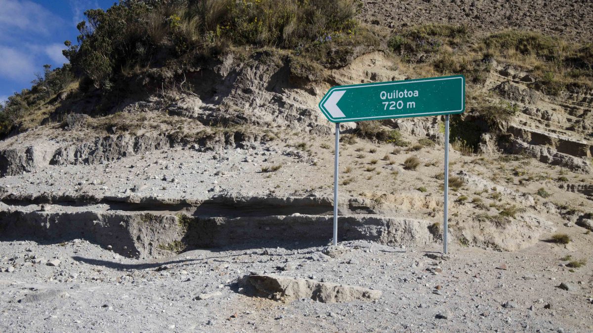
A couple of hours from Quito is a huge turquoise lake snuggled into the remains of an ancient volcano. The mountain and the lake are both called Quilotoa and are a popular tourist destination for Ecuadorians and foreigners alike. Most people show up to the parking lot, walk a few hundred feet to a viewing platform, snap their Instagram memory, and head on to the next location. However, strong-legged hikers descend to the base of the crater and then hike back up. Others hire guides with donkeys to bring them back, not only to save their legs but their lungs as well. Remember, hiking up a mountain at high altitude can be very stressful on bodies accustomed to sea level.
Hiking the Quilotoa Crater Rim
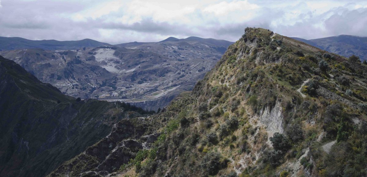
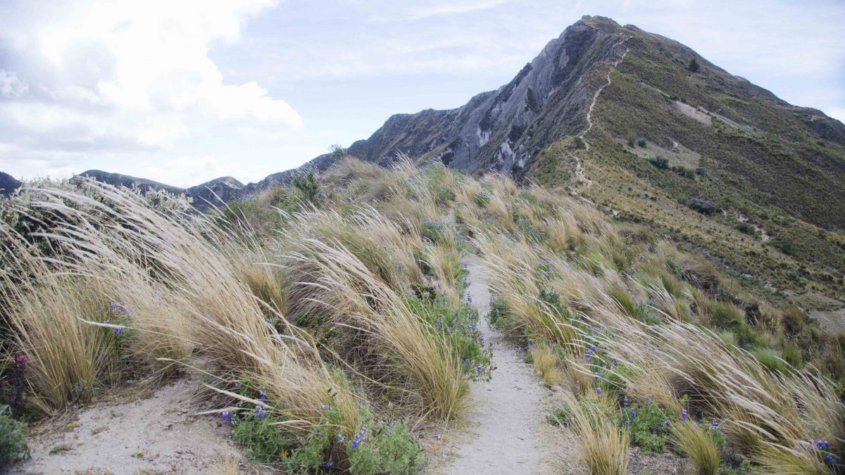
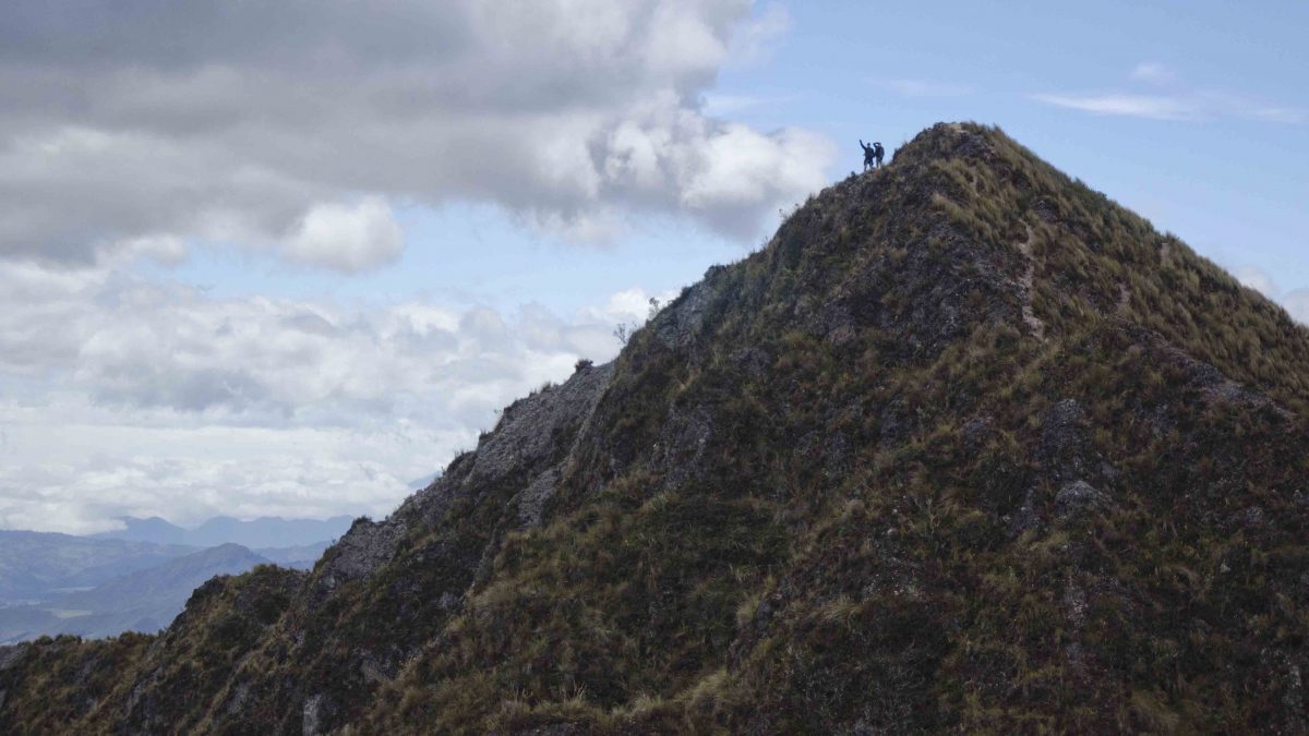
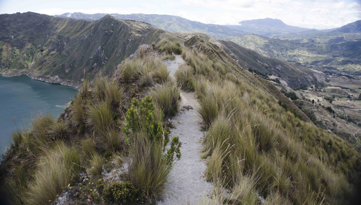
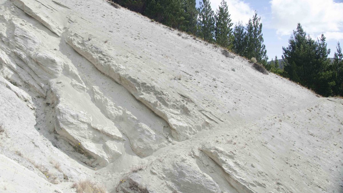
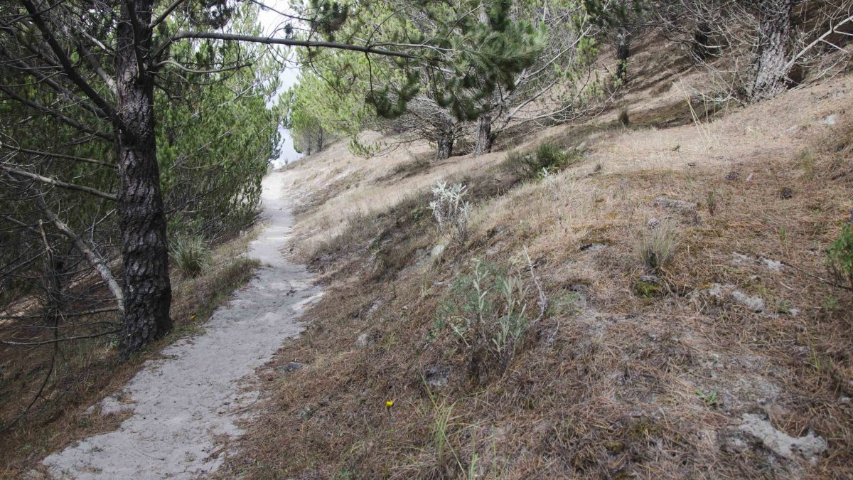
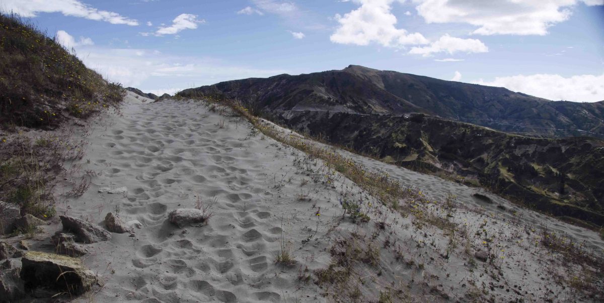
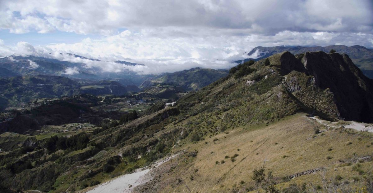
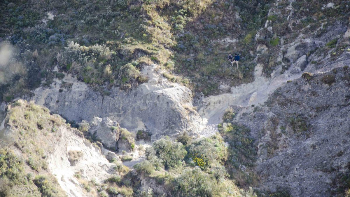
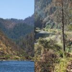
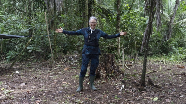
And then there are those that hike the Quilotoa crater rim. It’s anywhere between 11 and 14 kilometers long, depending on the source of your information. It is a long hike, either way. My family of four, 2 adults between 40 and 50 years old, one teen of 18 and another of 15, made the hike in about 7 hours. The youngsters probably could have pushed harder and left us way behind but even they think they would have only gained about an hour on the entire route. It’s steep in many parts though rock scrambling was never necessary. Yet our legs were either hiking up or hiking down, rarely finding a chance to hike on the flat. Worse, the longest flat section also happened to be through sand dunes which don’t exactly make for easy hiking.

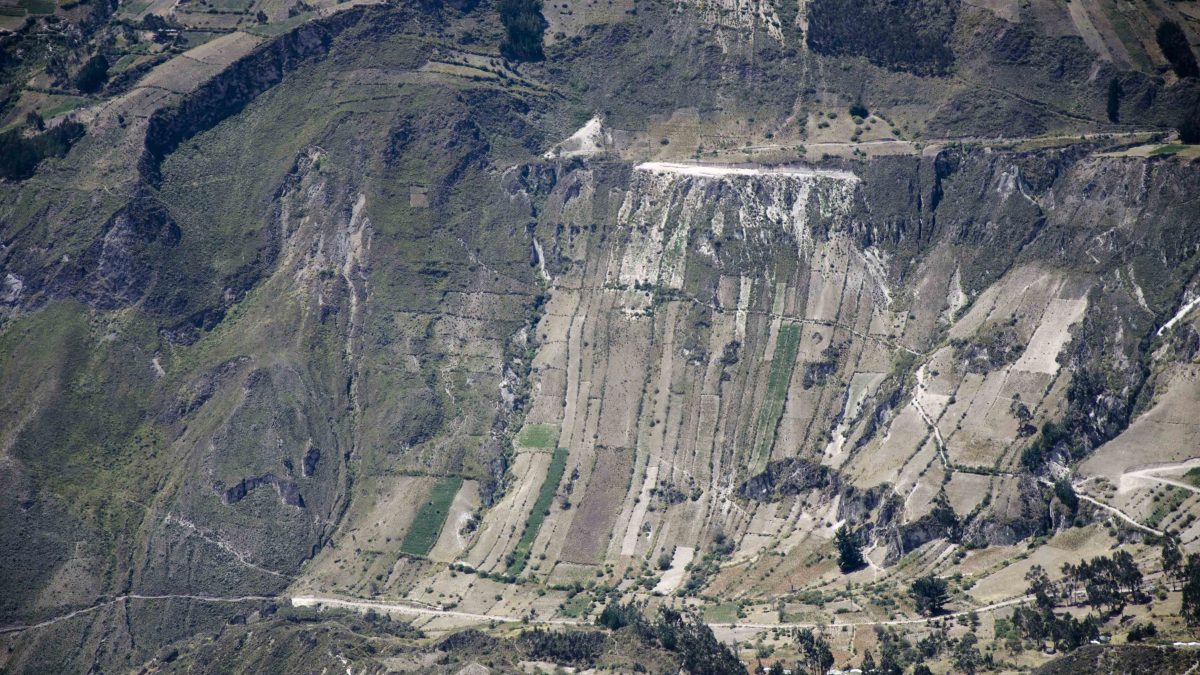
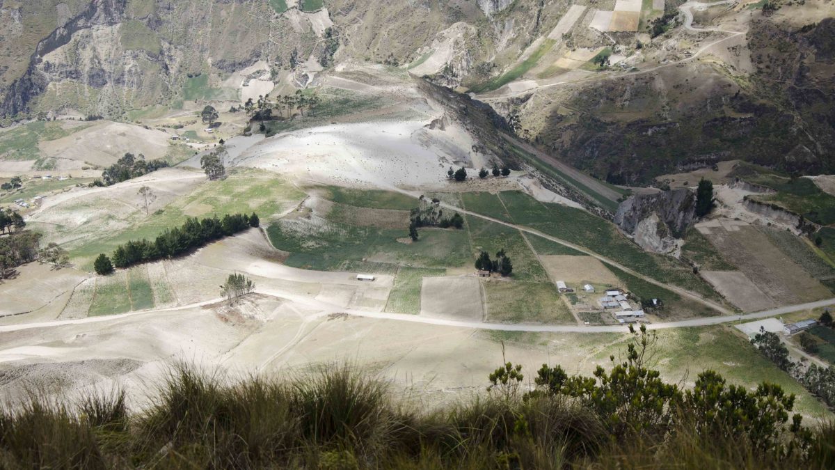
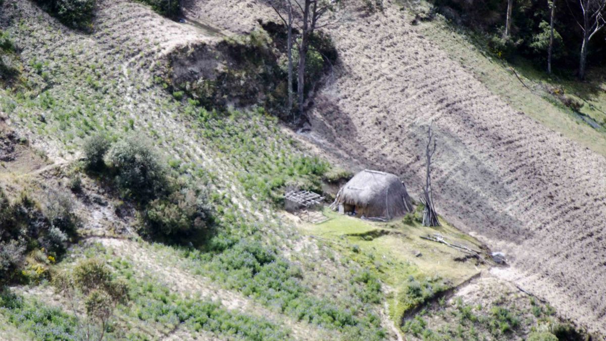
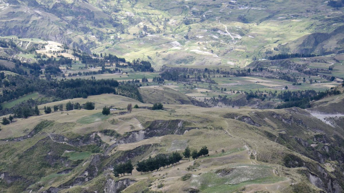
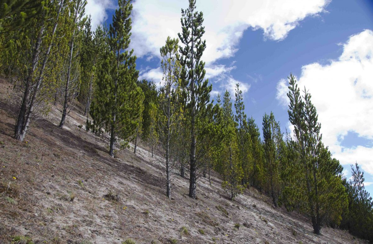
All in all, this was one of the toughest hikes of the summer. Nevertheless, it was also the most dramatic. After all, we were hiking on the rim of a crater with a gorgeous blue-green lake to one side and the undulating farmlands of Tigua on the other. We hiked through several different kinds of terrain and though we weren’t lucky enough to see other volcanoes on this cloudy day, the vistas were still amazing.
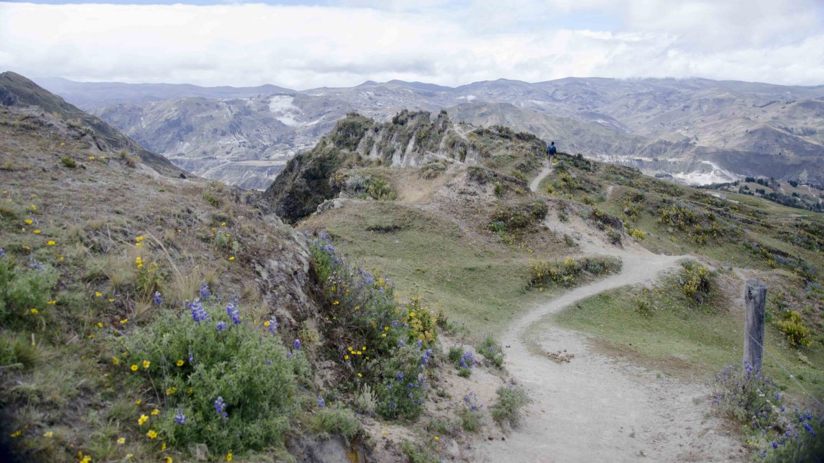
If you decide to tackle even part of this trail, we highly recommend starting counterclockwise. If you are facing the lake, you’ll want to find the trail that stays high, just between the restaurants and the lake, and continues to the right. It is a fairly wide trail to start and is well maintained. Locals use it to go back and forth between home and work. Best yet, it places some of the toughest hiking early in the day. I am thankful to our host at the Cloud Forest Hostel in Chuglichan for recommending this direction. As we finished the hike at the end of the day, we realized that hiking in a clockwise direction would have had us face some of the toughest altitude gains while we were the most tired.

Tips for Hiking Quilotoa
We do have a couple of advisories. First, take plenty of water. Even a cold day can mean dry conditions and the sun near the Equator is punishing no matter what the air temperature and even through a layer of clouds. Add wind and you will find yourself dehydrated very quickly. Carry more water than you think you need.
Second, wear suitable clothing. That means taking a hat to protect you from the sun and wearing plenty of sunscreen. We hiked with warm gloves and hats as well as layers of clothing so that we could adjust throughout the day. We never saw rain, though it is always a good idea to be prepared for it in these mountains. Nonetheless, we did experience temperature extremes and came close to stripping off most of our layers during mid-day and while hiking up hill. However, we were thankful for the warm layers when hiking out of the sunshine and when the winds picked up.
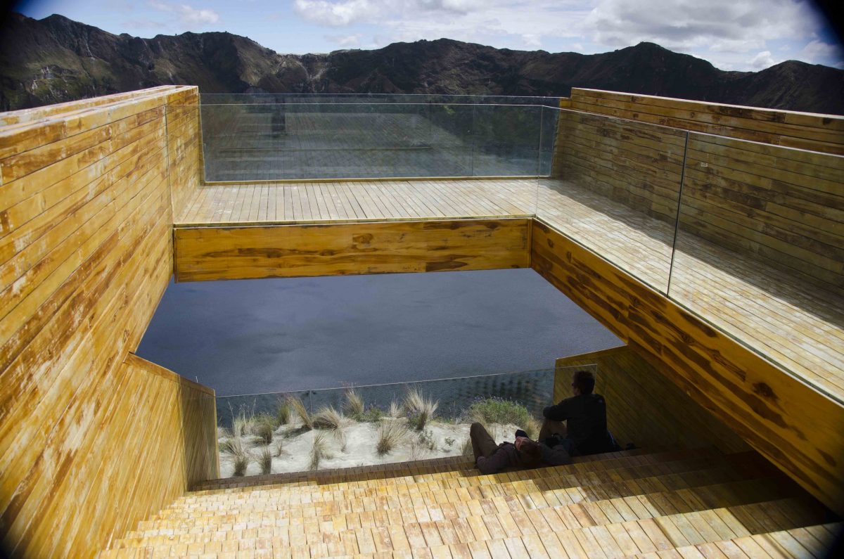
Third, take plenty of food. There are no places to buy food or drink. This is a lonely stretch of Ecuador and though you might see other hikers and the occasional local using the trail to get to and fro, you will not find a place to buy a sandwich. You will find a lovely viewpoint built into the mountainside where a new park is supposedly going to open. That means in the near future, there might be some added facilities but for the time being, don’t plan on it.

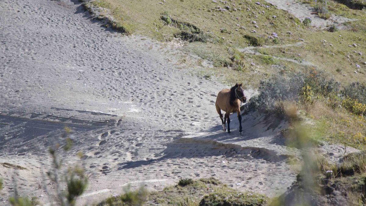
Beware of Horses
And finally, beware of horses. Yes, you read that correctly. While hiking on the far side of the crater, my sons were chased by a horse. My husband and I caught the tail end of the scenario when we hiked around a corner and could see our sons running off the trail up into the rocky mountainside. In between them and us was a huge expanse of gravel on a low lying ridge and a horse pacing back and forth, as if on guard. We later learned that the horse had come barreling up a side trail and caught my boys while they were crossing the ridge. The horse charged. He stopped. He charged again. My boys decided not to waste any time getting out of his way. Luckily, once they found a safe haven, the horse decided to head back on the trail he came in on and my husband and I walked through unmolested. But beware of horses. Just in case.
Click on the photo to open the slideshow:
Information For Your Trip
If you plan on hiking, please come prepared for all weather as these are high Andean mountains where storms can arrive with barely a moment’s notice. Bring plenty of drinking water, food for the trail, and protection from the sun.
- Direction by Car, use WAZE and look for Mirador a la Laguna Quilotoa, Provinica de Cotopaxi. This could be a long day trip by car but if hiking, we recommend staying overnight.
- Direction by Public Transportation While it is possible to arrive by bus, the best route will likely be Quito-Latacunga, then Latacunga to Chuchilán. By bus, this is not a day trip.


