First published on June 5, 2018 • Last updated on February 9, 2022
This page may contain affiliate links; if you purchase through them,
we may receive a small commission at no extra cost to you.
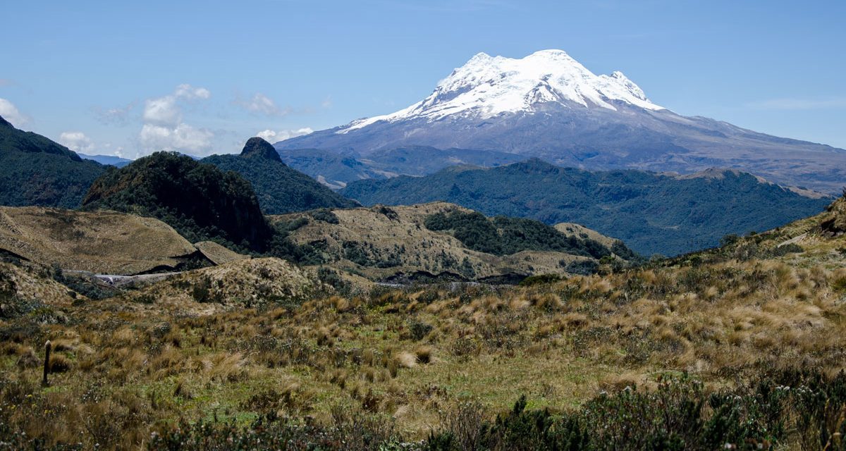
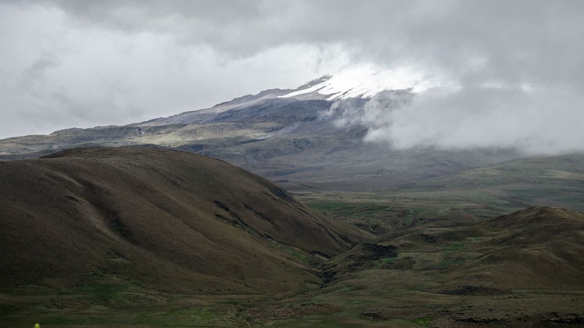
Antisana, the fourth highest mountain in Ecuador, spends much of its time hidden behind huge layers of cloud. It’s a shame as this is the most glorious of the Ecuadorian Nevados (snow-topped volcanoes). Its fickle nature makes it one of the more difficult volcanoes to photograph. As such, I have learned to take advantage of the rare days when it makes an appearance. Just a glimpse of it can coax me from my computer to the great outdoors. The debate: which direction should I head before Antisana slips once again behind a misty veil?
Best Places to Photograph Antisana
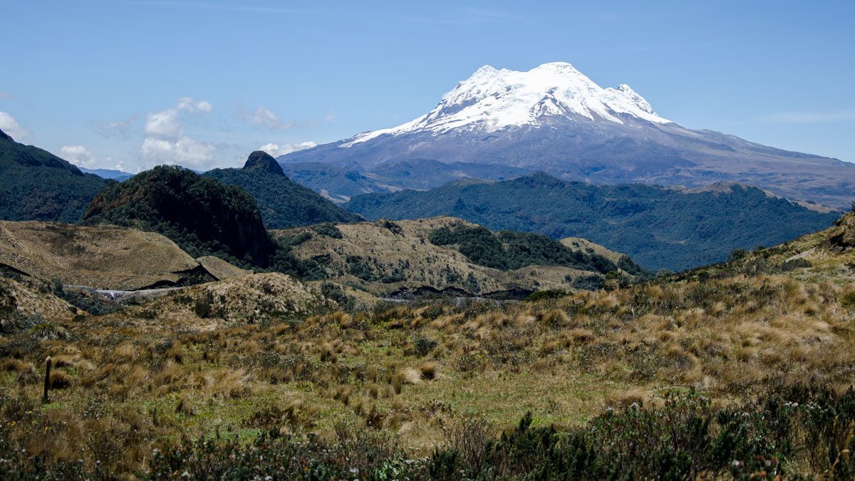
Because this volcano is so large, it is easier to photograph with a little distance between yourself and the mountain. The closer you are, the harder it is to actually see it!
To complicate matters, volcanoes tend to make their own weather patterns. Antisana fights alternating rainy seasons, those of the Sierra and those of the Amazon Basin. That means the traditionally clear skies that Quito experiences around August may still see Antisana draped in clouds. I have added dates to the photos in this blog post to help provide an idea of when Antisana might offer an opportunity for a photograph. However, no matter the season, the best chance of clear skies is often in the early mornings or the late afternoons.
From Quito
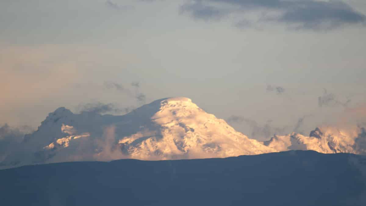
It is possible to see Antisana peaking over the mountains across the valley from Quito. In order to see it, apartments and hotels with views towards the southeast provide your best chance. We lived in the small neighborhood of Monteserrin and Antisana would tease us from our kitchen window. Places in Gonzalez Suarez will likely have a better view. A few of the highway pullouts along Avenida Simón Bolivar are also worth scoping out, especially the one with a view of Conocoto. Furthermore, there is always the Teleferico. From its height on the base of Rucu Pichincha, it is possible to see many volcanoes on a clear day.
From the Cotopaxi Refugio Parking Lot and Switchback Trail
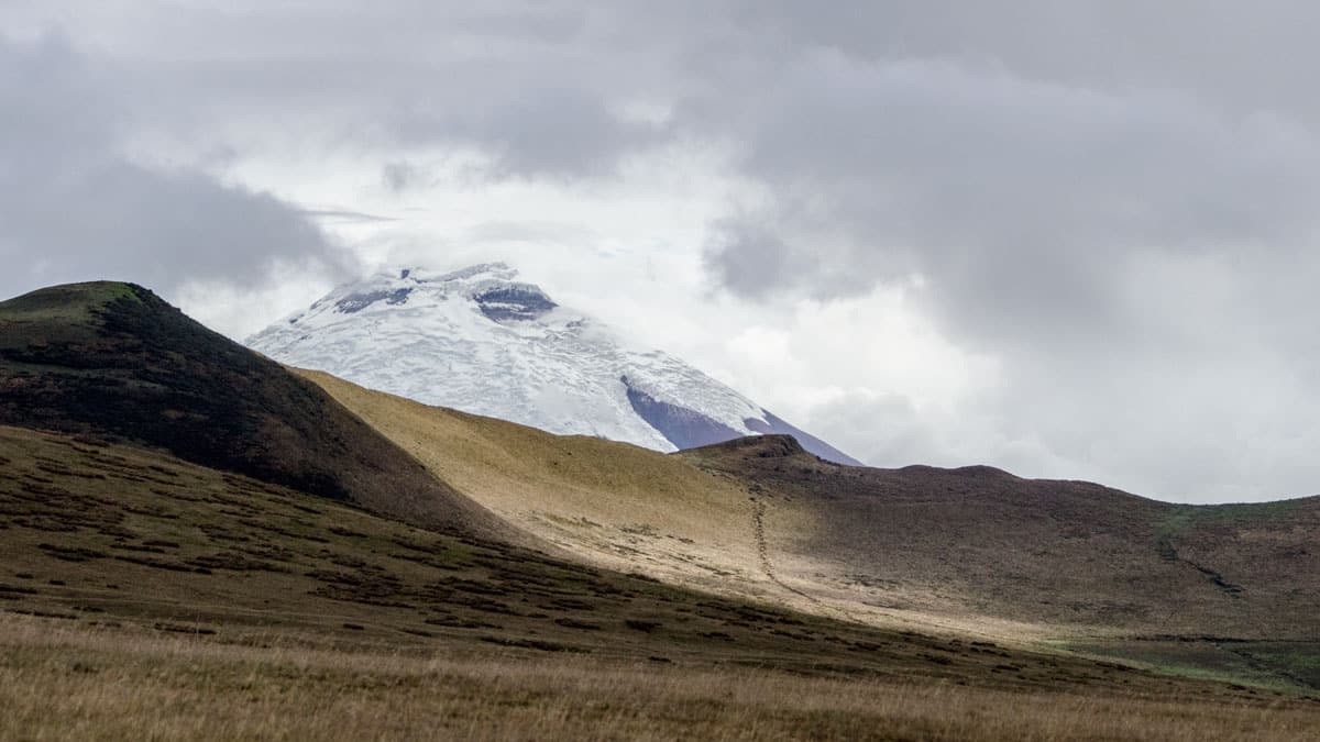
If you are planning to hike up to the Refugio at Cotopaxi National Park, head out early to take advantage of potentially clear skies. Although Antisana can be seen from the edges of the parking lot, the best views are from the switchback trail that heads up the mountain. If you are not sure what I mean, please read our article about this hike.
From the Antisana Ecological Reserve
It makes logical sense that it is possible to see the Antisana Volcano from the reserve named for it. But not all locations in the Antisana Ecological Reserve make for great Antisana viewing. There is a spot driving towards Laguna Mica where the mountain can be seen across the grassy paramo. But once you get out to Laguna Mica itself, you will have to hike to the top of the knoll in order to get a view. We have had bad weather luck on the days we have visited but we have also failed to make it out to the lake in the early morning hours. Let us know if you have better luck!
From Sector La Virgin
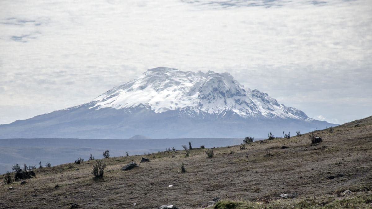
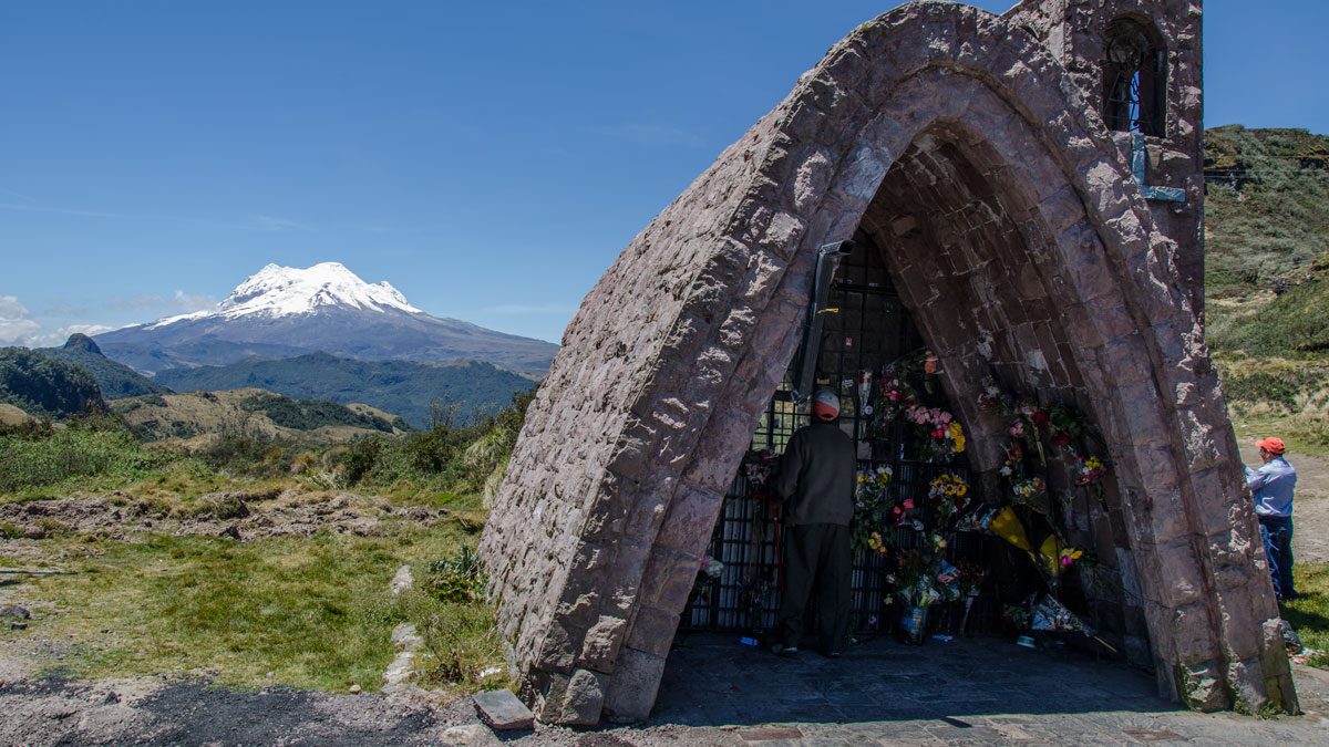
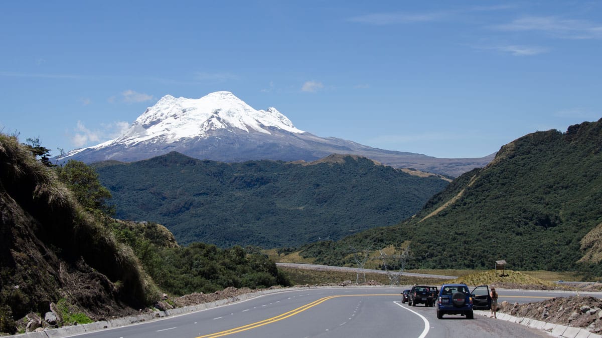
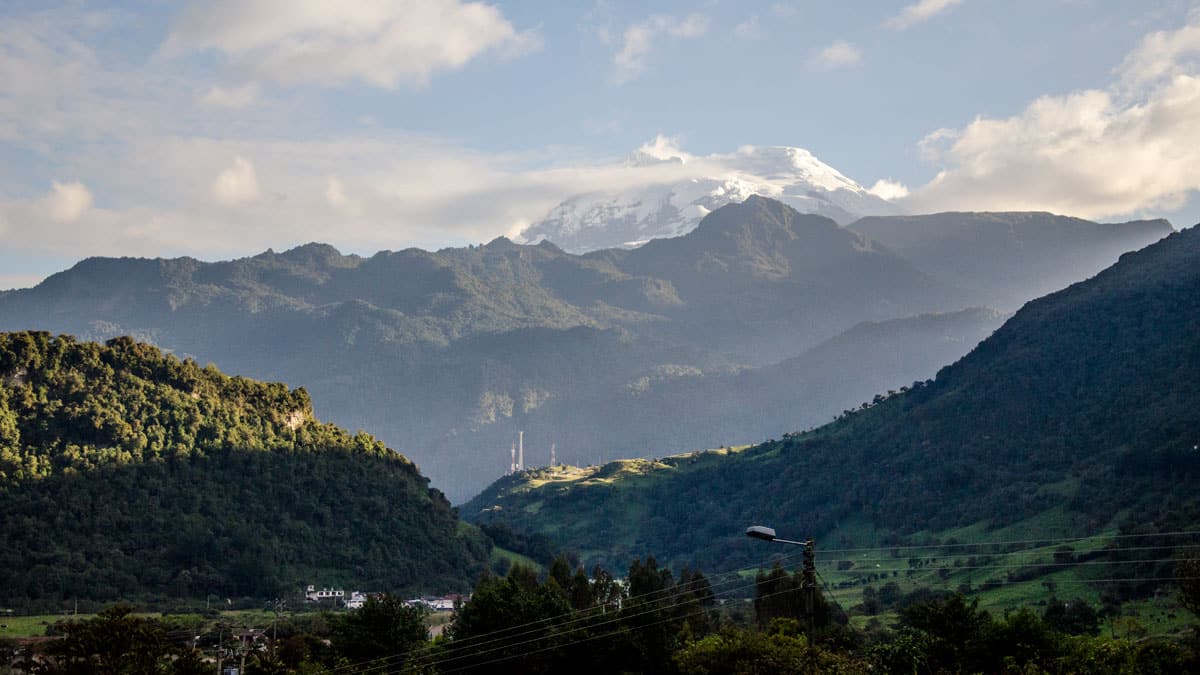
As the highway leads away from Quito to the upper elevations of the spa-town, Papallacta, it crosses a high mountain pass. Locals call this spot Sector La Virgin for the small shrine dedicated to the Virgin Mary. At this location, Antisana looms in the distance on clear days. Be warned, if Antisana is visible, traffic here can become snarled as dozens of cars pull over and attempt to share fairly limited space. Catching a shot of the shrine and the mountain together can become complicated as car after car of visitors pulls in to admire the volcano.
Since 2018, an Andean Spectacled Bear, sometimes with cubs, has been regularly spotted in this area. Keep your eyes peeled!
From La Virgin to Papallacta
Further up the road, there may be an occasional spot to see the Antisana Volcano. While there are no official pullouts other than that at La Virgin, people make do and use of the side of the road. Be very careful on clear days as taking selfies with the mountain often makes people forget some of the basics of roadside safety.
From Las Termas Papallacta
From the Virgin, the highway will wind its way to the small town of Papallacta. A left turn at the crossroads leads through town and up to the small but well-known Termas de Papallacta. From the hotel grounds, you can make two choices.
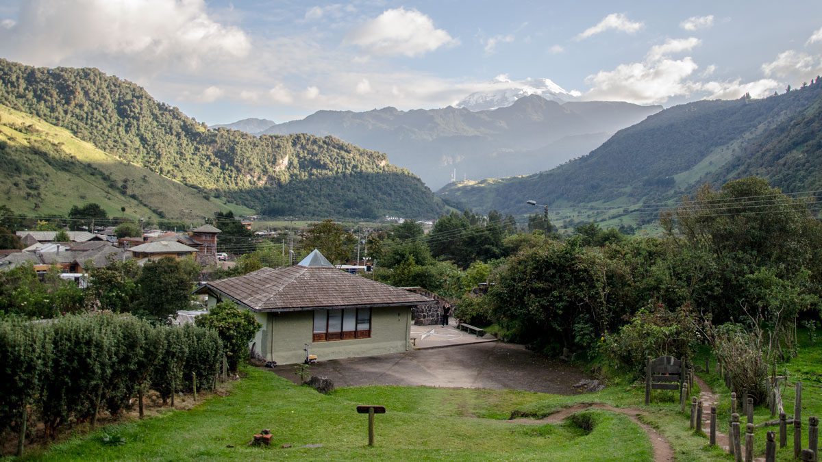
First, you can park here and access the hiking trail that goes up the mountain. Just ask about the hike to the cross (una caminata hasta la cruz). From the height of the cross, look back across the town of Papallacta towards the mountains. There, the Antisana Volcano will loom over the lower mountain range that parallels the lower highway.
Second, take the road through the gate to access the Cayambe-Coca National Park. This is a dirt, gravel road but is kept in fairly good condition. After gaining a little elevation, keep checking the view back over the town. There are a few spots where it is possible to see the Antisana Volcano. As a side note, this road will end at a ranger station where they check-in vehicles to drive the backroads of the National Park. One direction leads to Oyacachi (more easily accessed from Otavalo) and the other to the San Rafael Waterfalls in the Napo Province (more easily accessed from the main highway).
From Papallacta to Baeza
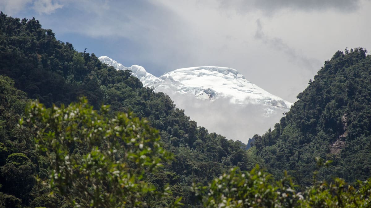
If you are driving further away from Quito towards Baeza, you just might see Antisana peek out between the dark green, cloud forest covered mountains on the south side of the road. Unfortunately, we have never found a safe pullout that also provides a view of the mountain. Passengers should be prepared to roll down windows, have their shutter speeds set to take into account the moving vehicle, and be ready to snap at a moments notice. Despite the seemingly slap-dash nature of these shots, the can be surprisingly dramatic as the glimpse of a glaringly white Nevado bordered by the deep green of lush cloud forest is absolutely stunning.
These are the best spots we have found to take pictures of the Antisana Volcano but we know there are many more. Tell us your favorite spot to photograph this iconic volcano! And be sure to share your photos with us on Instagram, Twitter, or Facebook.

