First published on February 15, 2019 • Last updated on December 10, 2025
This page may contain affiliate links; if you purchase through them,
we may receive a small commission at no extra cost to you.
When we decided to visit the small mining town of Zaruma, the last thing on our mind were petroglyphs. But then our hotel offered us a tourism map of the region. The list of archeology sites in half a dozen locations intrigued us! So with the help of the local tourism office, we set up a day trip to visit some nearby petroglyphs.
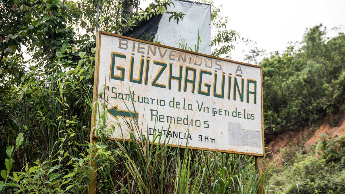
Tourism in Guizhaguiña, Ecuador
This part of the trip qualified as backroad travel in more ways than one. Guizhaguiña is truly a tiny town. It lies at the intersection of a couple of dirt roads that are decently maintained though difficult to traverse in rainy weather. It is possible to get lost (or at least mis-directed) at the crossroads. Therefore, we recommend paying very close attention to where you are headed. In fact, we have marked Don Carlos’ property on the map below just to help you out! If you want to eat a meal in Guizhaguiña, it is best to make arrangements beforehand as there is really nothing like a restaurant in town. Better yet, pack a picnic!
Despite its isolation, Guizhaguiña is known for its festival of the Virgen de los Remedios, its food and artisan-made liquor, archeology sites, and its waterfalls and lakes. In fact, according to locals, the name Guizhaguiña comes from an ancient language and means Woman of the Lake: guizha = woman and guiña = lake.
Tourism is complicated by unimproved roads, lack of signs, and few established tourism contacts. Finding online information about the region is tough; even Spanish-language website just give an overview with no real answers on how to plan a visit. Enter Don Carlos.
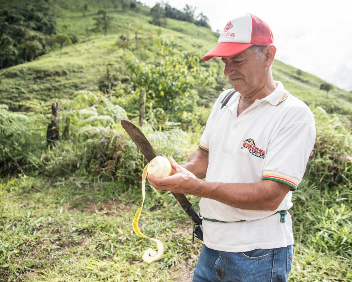
Don Carlos Ochoa
Throughout Ecuador, locals use the titles Don and Doña to show great respect for their elders. Additionally, the use of either title implies a knowledge or wisdom acquired over time. Well, Don Carlos might not be that old but knows a lot about his region.
A few years ago, he began to promote agro-tourism on his farm. He grows coffee, which he roasts on site, and sugar cane, from which he makes an aged rum-like liquor called reposado. Tourists can visit the farm, tour the grounds, and enjoy a cup of freshly brewed coffee or a shot of reposado.
However, that’s not all Don Carlos knows. He has walked about every known trail in and around his community. He has found petroglyphs hidden in caves and tucked into rocky hillsides. In fact, some of the petroglyphs he knows about have yet to be studied by archeologists, including one found on his own farm.
It seems like dozens of these petroglyphs exist but no meaning has been ascribed to their locations. Moreover, it is unclear that an official map of these sites exists at all. As native forests are cut down to make way for other farming operations, the likelihood of finding more petroglyphs increases. It’s a mixed blessing as the native forests of this region are in danger of disappearing in the next couple of decades. A well-developed tourism route that protects wild spaces will be key to the economic future of this small town.
Our Trip to See The Petroglyphs
On the morning we arrived at Don Carlos’ farm, he was ready and waiting for us just outside the gate. We were fifteen minutes late due to a wrong turn but well within what we call la hora ecuatoriana, that leeway between being on time and being very late. Don Carlos kindly allowed us to get out, stretch our legs, and use the bathroom before having us jump back in the car.
We had a guest along for the day, a Peace Corp volunteer named Caroline. She has worked in Zaruma teaching English in one of the local high schools for almost two years. Although she had always wanted to see the petroglyphs of Guizhaguiña, the complication and expense of travel in this region made it difficult.
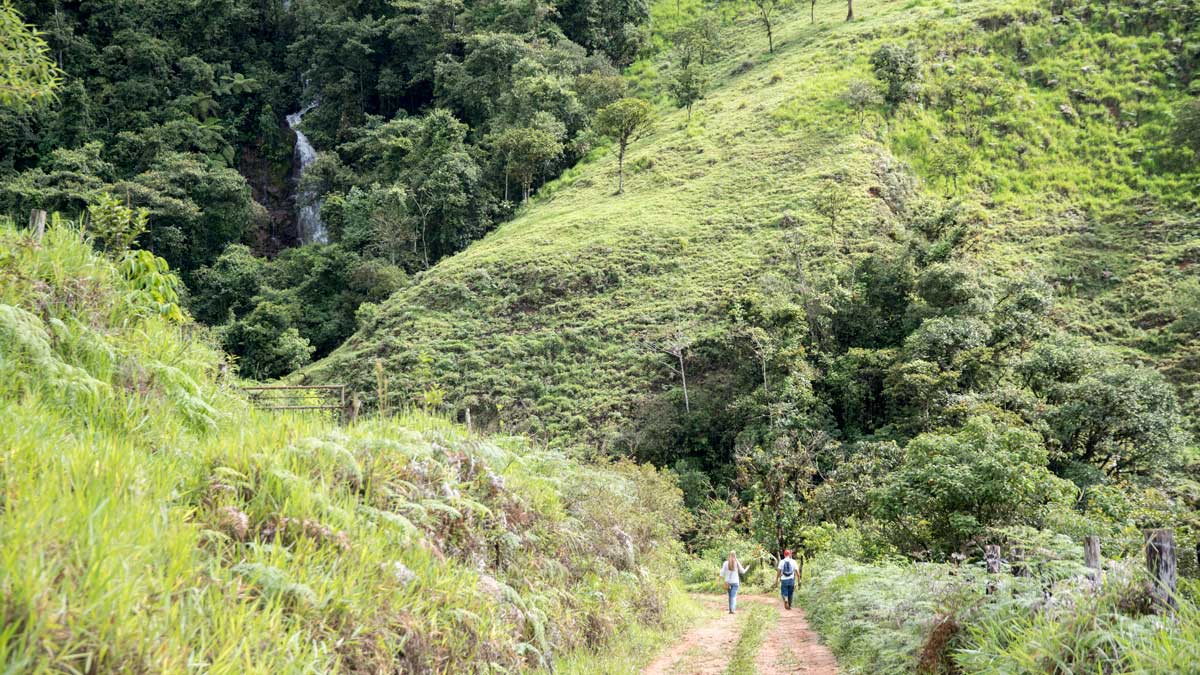
Caroline and I jumped in the backseat while Don Carlos became our front-seat navigator. My husband and driver extraordinaire, Scott, put the car in gear and we were on our way! Don Carlos guided us further up the road towards a destination popular with locals, the Cascada Plano Rumi. As we drove along, he spoke about his own agro-tourism project and the difficulties of getting visitors to the area. We listened as the dirt road got a little narrower. Then it got a little steeper. From the back seat I could only imagine Scott’s hands gripping the steering wheel just a little tighter. It was very clear why getting tourists to this area is somewhat complicated.
The Difficulty of Driving in Guizhaguiña
Maybe this is a good time to tell you that the altitude in Guizhaguiña changes from about 300 meters to 1500 meters, sometimes fairly rapidly. That makes for a lot of steep roads. Two night before, it had rained like there was no tomorrow. The night before it had rained like normal. All that rain meant that some portions of this road were slick with clay-like, rust-colored mud. And that our rental car was not a 4-wheel drive.
Basically, our car just could not make the next incline. Scott tried a couple of times. He avoided using the well worn ruts to prevent us bottoming out on any of the rocks sticking up in the center. But the front-wheel drive vehicle would not gain traction. It just wasn’t going to happen. These steep hillsides, great for growing coffee, were not great for driving.
Fortunately, this tough spot was right next to a small driveway (or pull-out) of a neighbor of Don Carlos. It meant we could park the car and continue on foot.
Hiking to the Petroglyphs
According to Don Carlos, our destination was a mere 10 minutes up the road by car or a half hour walk away. We had more faith in our legs than in our car, so off we went, cameras in hand.
We climbed to the top of the rise to see the road dip back down. As happens often in the Ecuadorian Sierra, the road twisted and turned, rose and fell, but hardly ever maintained a straightaway that was flat. Our half hour hike turned into about an hour long trek. Still not horrible but the delay meant that we would see fewer petroglyphs. Without being able to drive to them by car, we lost valuable time.
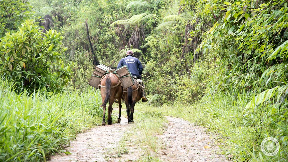
The road was in very poor condition, rutted with stretches of muddy water. No wonder we saw locals transporting cheese by horse and not by motorized vehicle. At least Scott and I wore hiking boots. Poor Caroline had shown up in flip flops, very appropriate footwear for her day job in the warm, humid climate of Zaruma. Not so great for the wetter portions of this road. As we trekked through mud deep enough to fling itself upward from her thonged footwear, leaving tracks on her jeans like a bicycle without a rear fender, I was thankful for my water resistant boots.
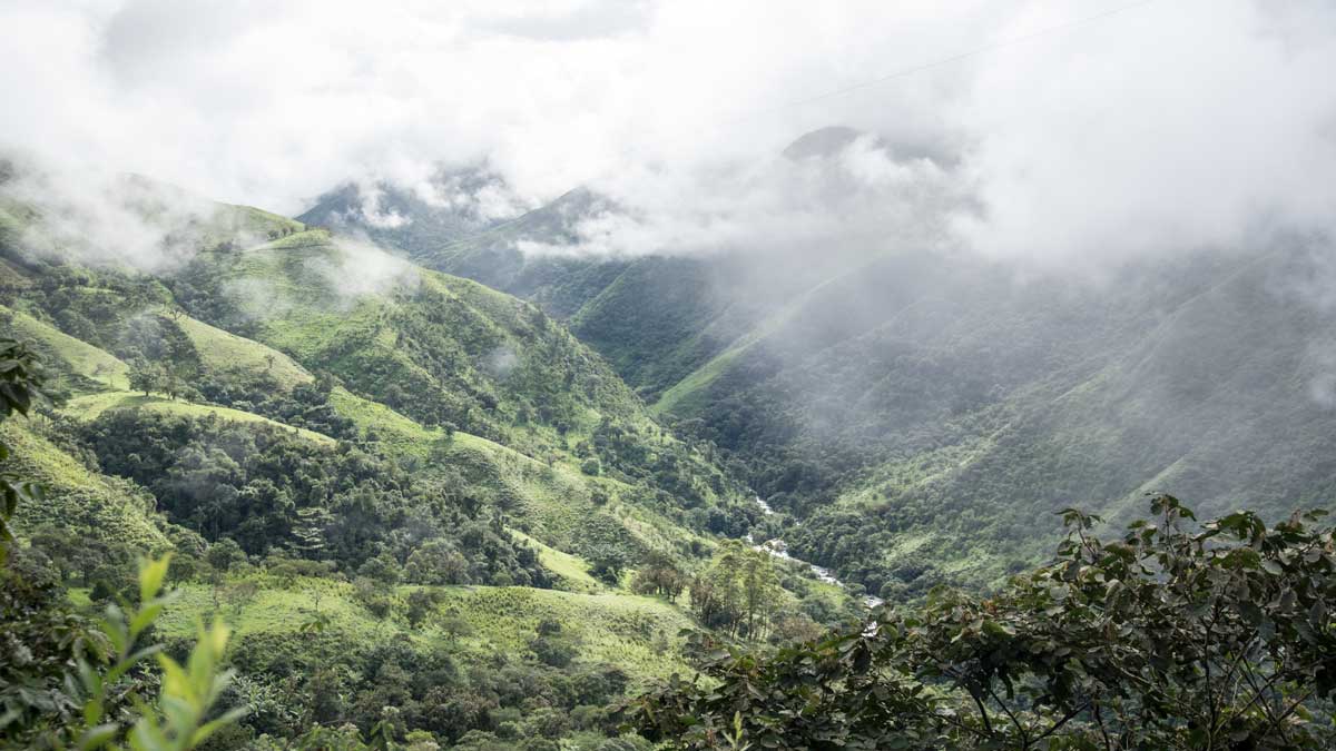
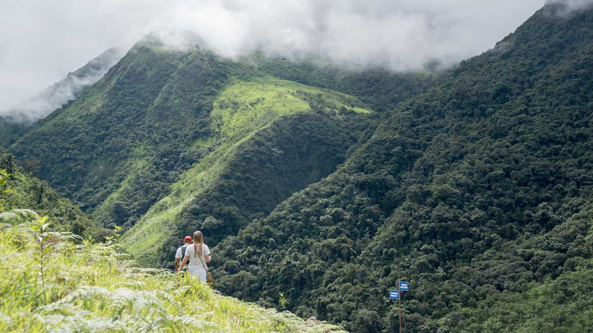
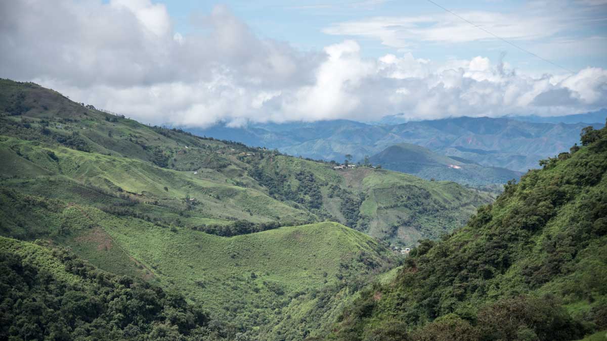
The road/trail actually made for some nice hiking. Views of the surrounding area were spectacular – some of the prettiest I have seen in Southern Ecuador. Cow pasture and forest shared the mountainous terrain in about equal measure. A river churned through the valley below. The early morning fog lifted, leaving behind a line of high gray and white clouds that would occasionally break free of each other to reveal a sliver of bright blue sky.
So when we reached part of the road washed out by the river, I was in a pretty good mood. If the steep muddy portions of the road hadn’t already been enough of a reason to leave the car behind, the river across the road certainly was. The current was swift and the depth inconsistent, doable in a 4×4 but not much else.
With no bridge or stepping stones, the only way across was through the water. Fortunately, it wasn’t deep everywhere. The shallowest parts were just a little more than ankle-deep, perfect for hiking in rain boots, the most popular footwear in rural Ecuador. However, for gringos in hiking boots, it was a different story. My tender feet would never make the river crossing without shoes so the way forward was with boots on, wet feet be damned. At this point, I was envious of Caroline’s flip flops. Hopefully these petroglyphs would be worth it!
Cascada Plano Rumi
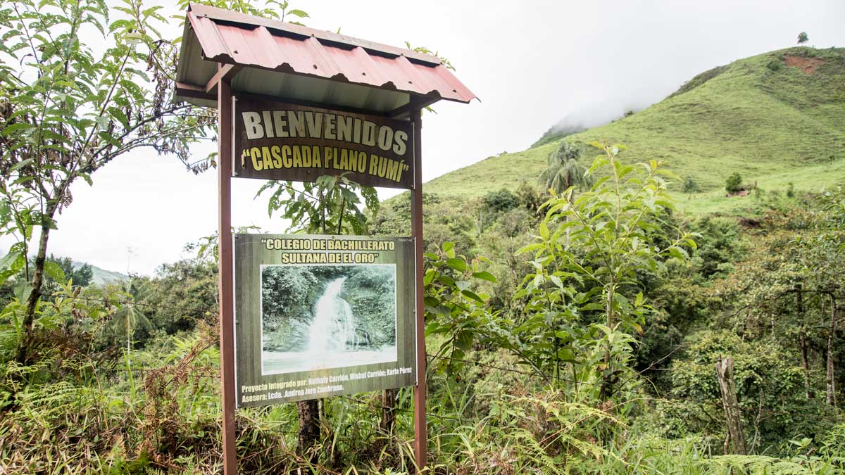
Just past the river, a little further up the road, we reached our destination, the entrance to a privately-owned reserve. A sign out front advertised Cascada Plano Rumi. When Caroline read it, she pointed out that students from her high school had placed that sign! It was nice to see another local connection to the tourism potential of the region.
Along the trail, she and I had been talking the difficulty of teaching English where few people felt the need to learn a second language. Seeing that sign got us to talking about the possibilities of future tourism, the importance of learning other languages, and the job opportunities that could grow in this region with a developed tourism route. We spoke of the average day-salary for a Spanish-speaking guide versus an English-speaking guide. In rural Ecuador, most people struggle to earn even a minimum wage and that is a mere $380 per month. A well-versed birding guide who can speak English can earn upwards of $100 a day.
To enter the grounds, we had to fudge a little. A locked gate prevented easy access but other visitors had clearly slid under the barbed-wire fence. Next, we walked past an unoccupied brick farmhouse and through a mucky animal enclosure to reach the trail on the other side. Without Don Carlos, I don’t think any of us would have figured out the right way to go.
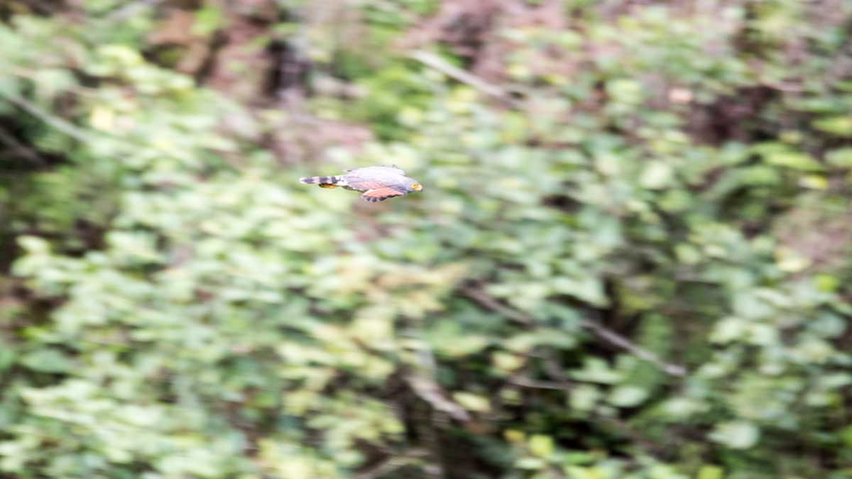
The trail led us to a grass covered hillside where we went cross-country, leaving the lightly marked path behind us. In the tall trees overlooking the hill, we spotted a pair of Roadside Hawks. Other birds sang but we did not take the time to identify them. We were on a mission to find these petroglyphs and already felt the day slipping away from us.
As we dropped down the other side of the cow pasture, Caroline and Don Carlos worked their way ahead and disappeared into a small forested crevice of land. At the wooded edge, I felt the temperature drop as I followed them into the closely spaced trees. It was dark, damp, and cool inside this forest. Diminutive, red flowers gleamed from tree trunks covered in moss and vining plants. Looking ahead through the crowded branches, I could see Don Carlos pointing towards a cave formed by the meeting of dark gray rocks. He pulled out a flashlight and motioned me to follow him inside.
The Petroglyphs At Cascada Plano Rumi
Just looking at the cave gave me goosebumps. It was definitely the kind of place where stone-age hunters might have slept to protect themselves from the elements. However, nowadays it looked more like an animal dwelling. It was low, very dark and not very deep. Yet, long ago, it had obviously been important to someone.
There in the dark we found several carvings scratched deeply into the two of the rocks protruding at the base of the cave. Difficult to see in the dim light, we tried our best to photograph these undecipherable messages from the past. We wondered at who left them and why. Since so little is known about the ancient cultures of pre-Incan Ecuador, the study of such petroglyphs is as much an art as a science. I found myself wishing that I was an archeologist looking for a project to work on.
But this was not the only set of petroglyphs we had come to see. In fact, Don Carlos wanted to show us much more, including the waterfall that we could hear rushing nearby. But we asked to move on and see petroglyphs only. It was past mid-morning and we were already wildly off-schedule.
Fortunately, the next set of petroglyphs were just a few hundred feet away. We exited the forest, headed back up the grassy hillside, crossing without a trail to the other side. There we noted a set of signs and a thin trail crossing our own makeshift path announcing both the waterfall and the petroglyph. Still, we did not take the trail. Instead, Don Carlos took us off-trail down an even steeper cow pasture to a rocky outcropping looking out over the river valley below.
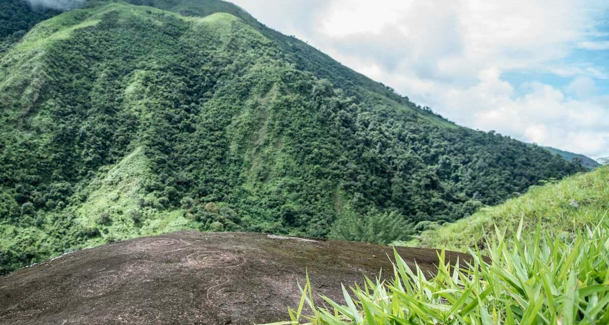
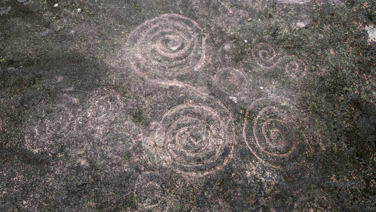
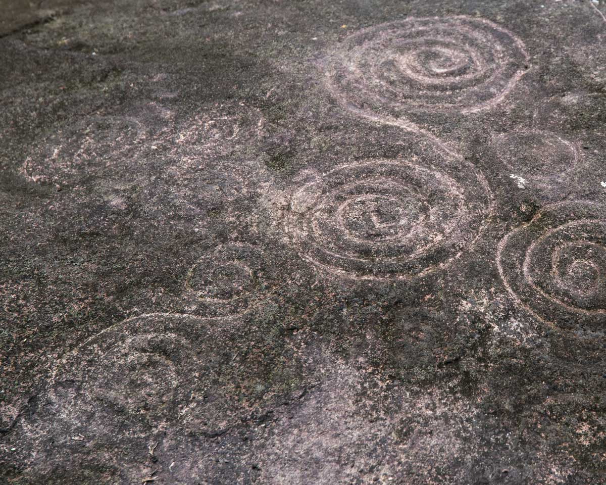
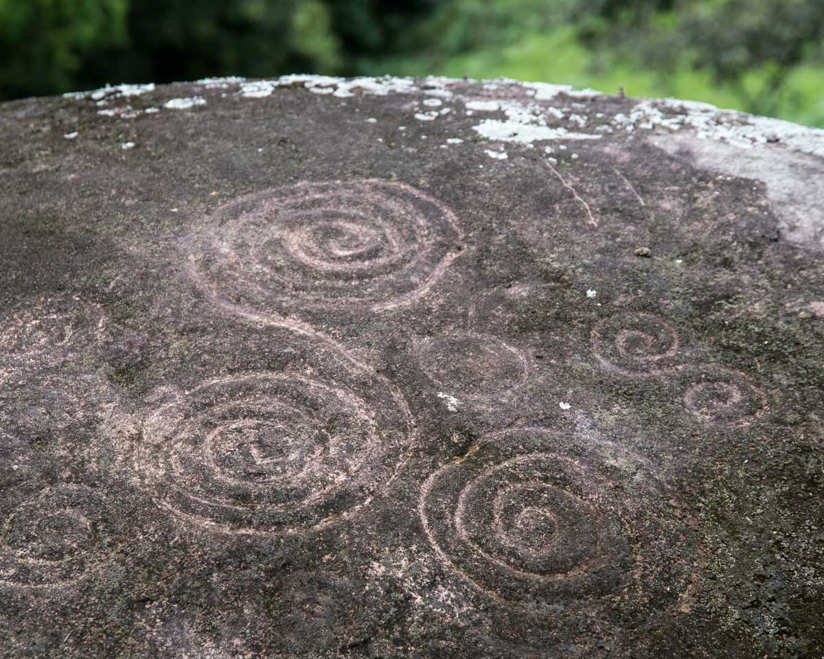
It was then that we saw one of the most intriguing set of petroglyphs in all of Ecuador. Ancient people had carved spiral after spiral into the coffee-colored stone. It looked like some pre-historic version of VanGogh’s Starry Night.
Although our pictures show you petroglyphs, they do not do justice to the site itself. We admired a view of the river valley below and the virgin forests across the way. It is hard to know if the ancients who carved these images had any view at all. This land was probably heavily forested but their may have been a clearing in this very spot.
Today, the outcropping has been abandoned to the cows. The stony face, no longer protected by trees, wears a beard of dark chocolate mosses that camouflage many of the spiral shapes. Don Carlos cleared some moss away but it was an impossible job to clear it all. It had been a long time since anyone had come to see these beauties.
As we crouched down to make out the different sized patterns, to discern where one carving ended and the next began, we shared our amazement. These petroglyphs connected this rural community with dozens, if not hundreds, of other locations in the Americas where ancients also carved spirals into stone. But what did they signify? Were they a reflection of the night sky? A map mountain peaks? A form of communication? We will probably never really know.
The Future of Tourism in Guizhaguiña, Ecuador
Our hike back was as beautiful as the hike there, if just a little warmer. The cloudy sky gave way to bright blue and the sun shone with an equatorial intensity that made us glad for our broad-brimmed hats.
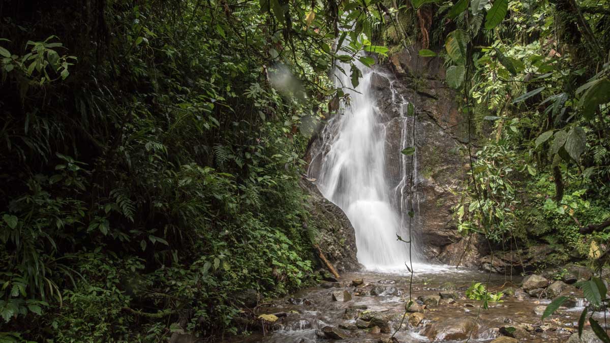
We ended up visiting a set of beautiful waterfalls back at the river crossing, picking out a rocky trail through the streaming water to get the best views. Maybe one day we will head back to swim in the crystal waters of the waterfall we missed.
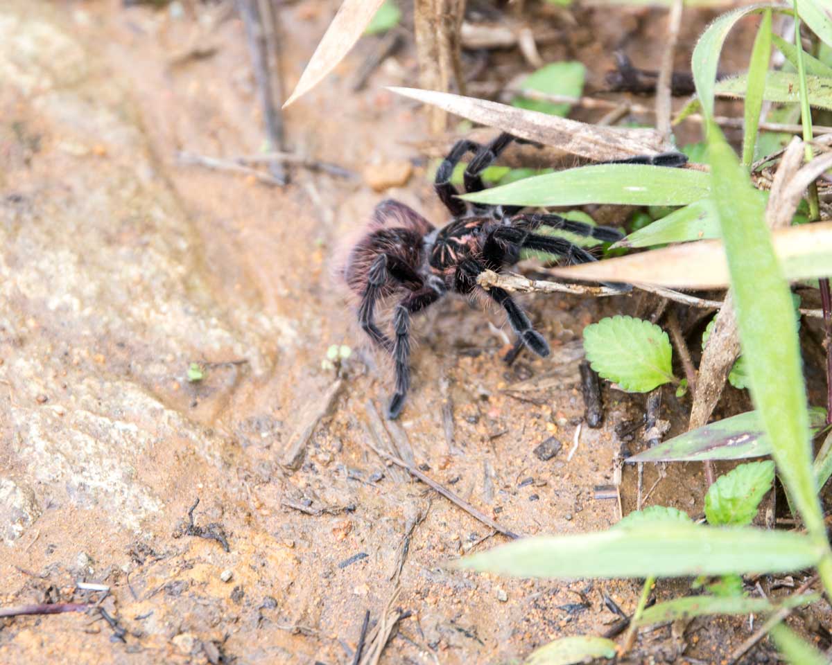
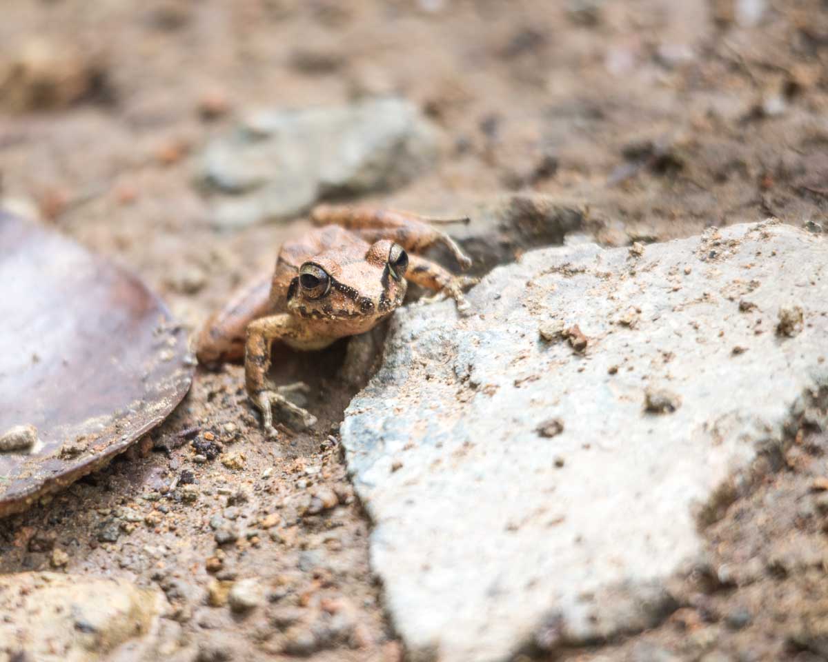
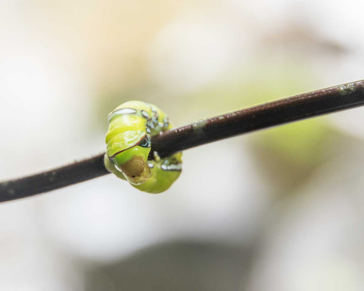
Along the trail, we learned that Caroline has a great set of eyes. Like us, she enjoys hiking and nature. She pointed out a large black tarantula crossing the road, a pointy-nosed brown frog attempting to hide in similar toned leaf-litter, and a bright green-caterpillar floating in the river that we crossed towards the end of our trail. Don Carlos joined in, pointing out an orchid not quite ready to bloom, just above the entrance to a mining tunnel where locals have dug to see if gold can be found in these potentially rich hillsides. Scott and I saw hummingbirds flit by, heard the buzzing chatter of Fasciated Wrens, and admired many a well-made Cacique nest. Birdwatching in this region could be huge. After all, the recently discovered hummingbird makes its home in the nearby high altitude mountains.
This place is ripe for sustainable tourism aimed at birdwatchers, orchid lovers, naturalists, and hikers. But it is also ripe for gold-mining and cattle farming. The debate will be in who wins out. Unless tourists begin to arrive to backroad destinations like this one, we cannot imagine a happy ending for the remaining forest or for the protection of the archeology sites.
Zaruma, Ecuador
Farm of Don Carlos Ochoa
Guizhaguiña, Zaruma, Ecuador
Information For Your Trip
While Don Carlos Ochoa does have a cellphone, he does not have access to WhatsApp or email. That means the best way to arrange for a visit is with a phone call. He can be contacted through the tourism office in Zaruma or by calling +593-985183248 (Spanish only).
- Direction by Car, use Maps.me and enter these coordinates: 03°41’37.55″S, 79°32’01.54″W







This is a wonderful trip report. Thank you!
Thanks for letting me know you enjoyed it, Bill! I hope you get the opportunity to visit this backroads destination. If you go, let us know!