First published on January 21, 2020 • Last updated on December 8, 2025
This page may contain affiliate links; if you purchase through them,
we may receive a small commission at no extra cost to you.
Hiking the Rucu Pichincha Volcano is a glorious way to explore the Andean wilderness only a short distance outside of Quito. In fact, if you’ve read my earlier post about riding the Teleferico, you already know that this activity is one of the most popular in the city with tourists and Ecuadorians alike. But that ride is only part of the adventure!
The Pichincha Teleferico
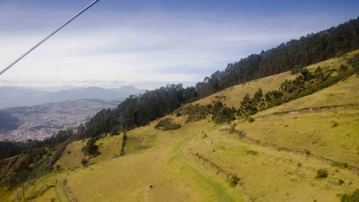
The short trip on the Teleferico is worth the price admission, just a few dollars per person. Without it, hiking to the summit of the Rucu Pichincha Volcano would take hours longer. Instead, hikers can enjoy beautiful views from the sky tram and avoid hiking the least wild parts up the mountain.
This is also a good time to note that Pichincha has two summits – Rucu (the one we are writing about in this article) and Guagua. To learn more about the baby summit and its active volcano, check out our articles:
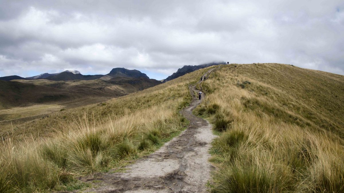
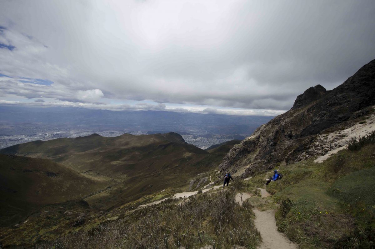
Arriving high on the slope of Rucu Pichincha, the Teleferico provides an easy opportunity for stunning views. A short hike takes you into the Andean moors, better known as the paramo. It is a place that is both wild and serene.
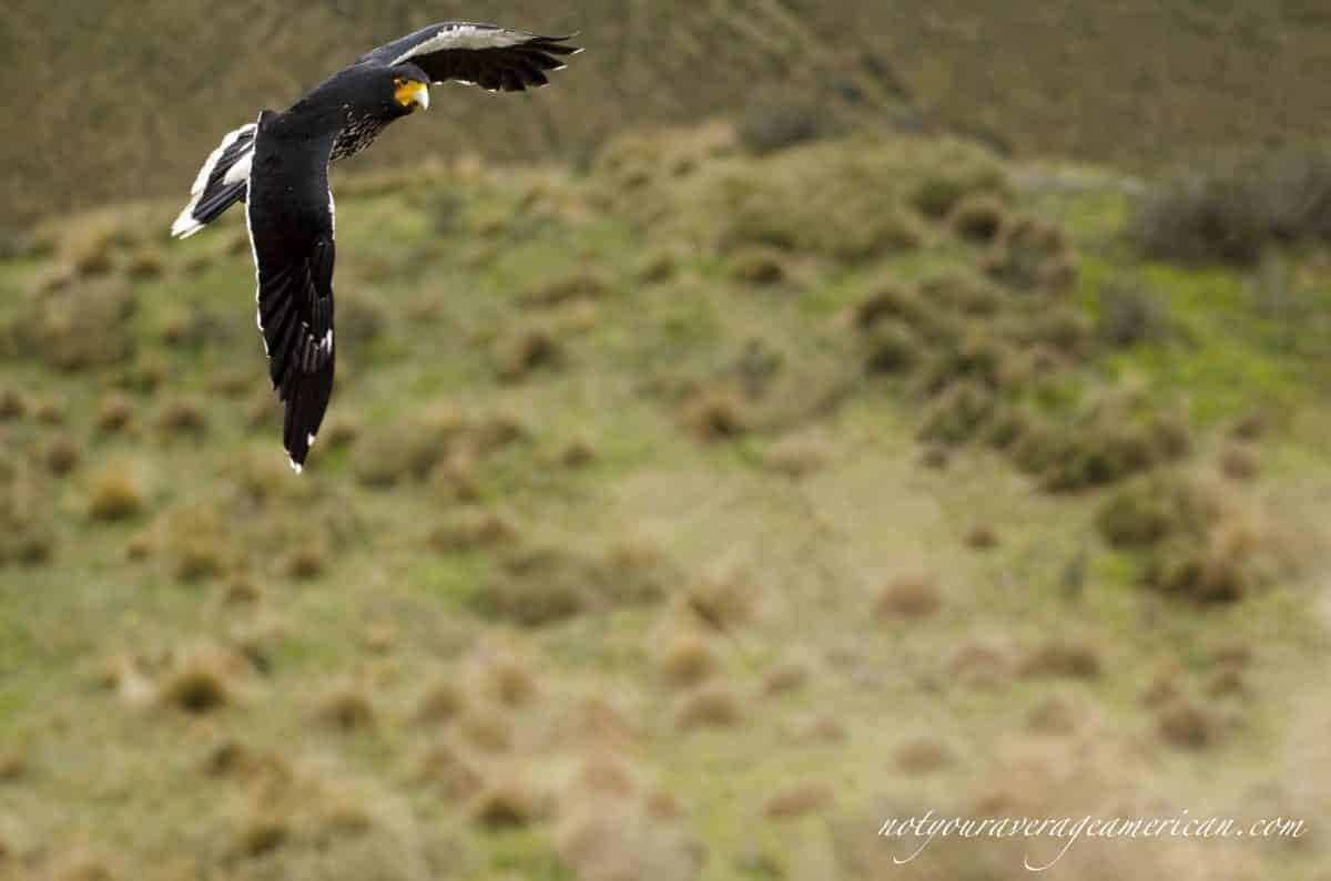
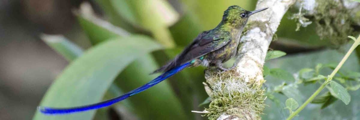
We’ve seen purple-headed, white-breasted Ecuadorian Hillstar hummingbirds among the bright orange cone flowers called chuqiragua. Black-and-white Curunculated Caracaras have tried to steal our lunch.
In the past, we hiked high enough to see the city of Quito spread out below us yet still not be able to make out a beginning or an end of this continually growing metropolis. That first trip, altitude sickness brought us back down before we had made the summit. Our second trip found us hiking very high but still not making it as far as we would have liked. Trip three was supposed to be the magic number.
starting Our Hike From The Teleferico
We started early to have plenty of time. Round trip from the top of the Teleferico to the Rucu Summit takes most hikers about 6 hours. Our goal was to make it back to the Teleferico by mid-afternoon. That was mainly so that we could avoid the heavy afternoon traffic back home across the city.
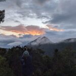
We also wanted to see gorgeous views and the earlier you hike, the better chance you have of cloud-free vistas. When we arrived, we were blessed with the very top of Antisana peeking out above the clouds! But not for long. The clouds quickly gathered in the distance, obscuring the volcanoes in the far distance.
Furthermore, our goal was to avoid one of the worst scenarios – to gain the summit only to find oneself enshrouded in clouds once you reach the top.
An Early Start is a Must
Despite starting early, I struggled to make good time on the trail. As we passed each milestone where I had turned around before, I breathed a deep sigh of relief. At least I would make it further than ever before. However, this trail is a killer – the high altitude not only saps the air from your lungs, it deprives your muscles of the oxygen they need to climb.
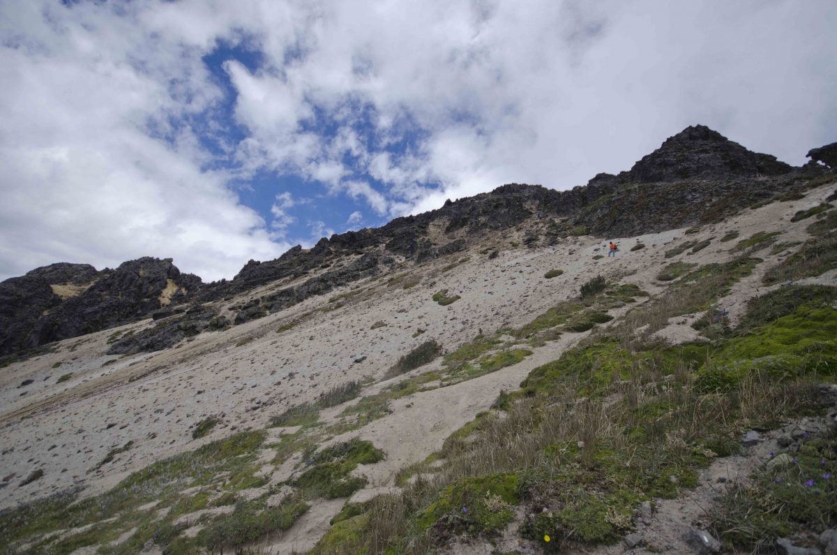
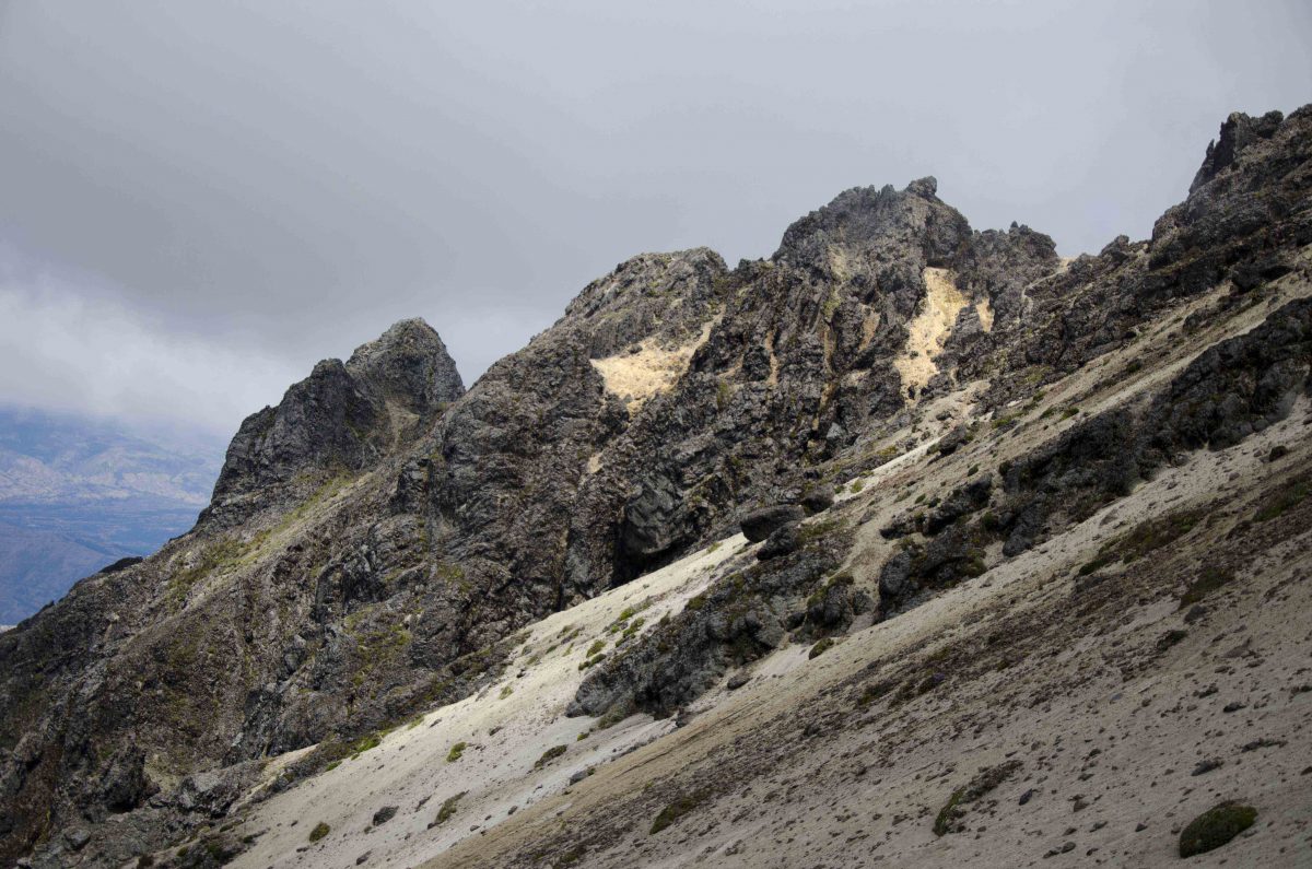
Despite lack of altitude sickness – no headache, no stomachache, and only the slightest bit of stumbling -my legs were like jelly after a couple of hours of steep hiking. We made it past the famous cave (not very exciting) and had tackled the mountain of scree that causes many hikers without proper footwear tons of problems. But at that point, I was afraid if I continued that I wouldn’t make it back to Teleferico.
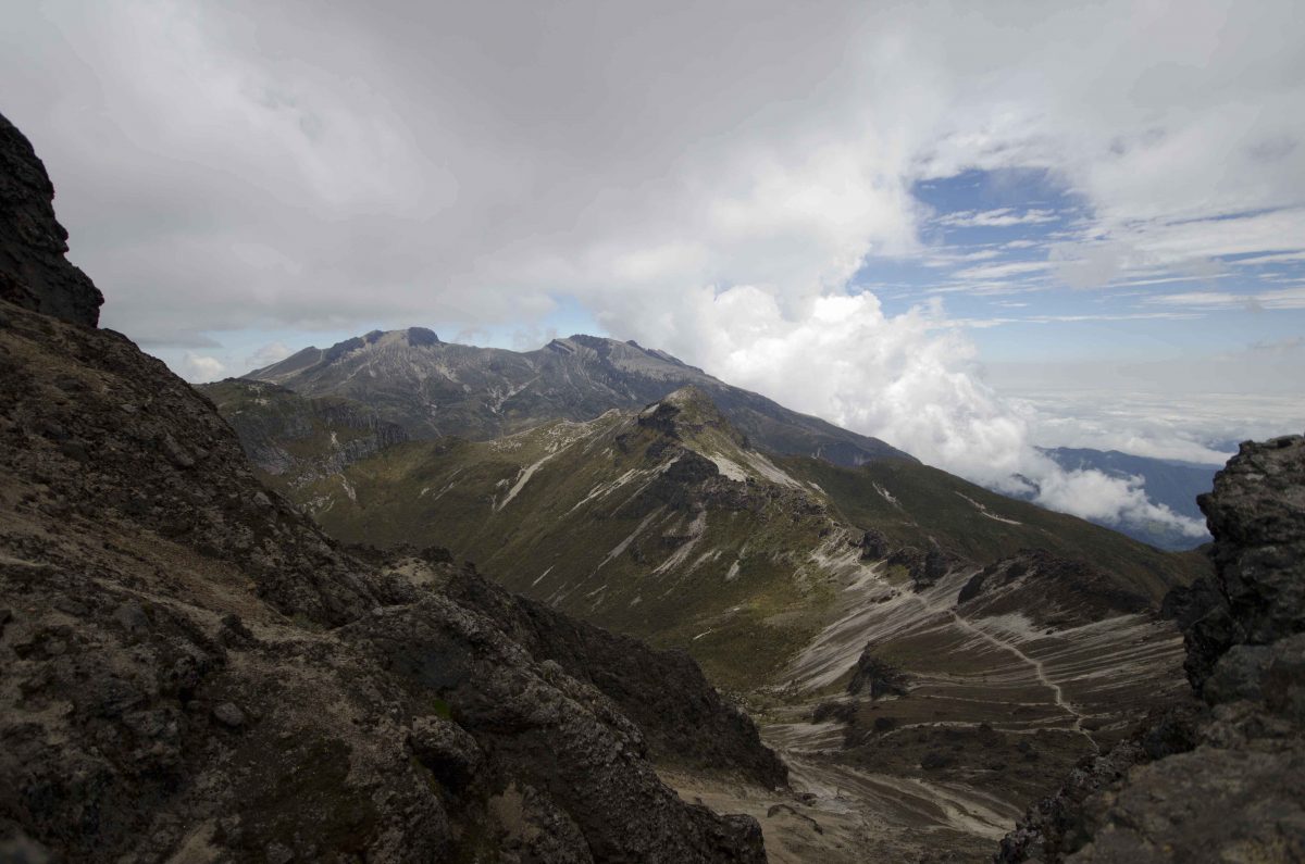
Fortunately, I found a nice spot with a view over the edge so that I could see the actual crater and sister peak, Guagua Pichincha, across the way. That alone was worth the hike!
Hiking to the Summit of Pichincha
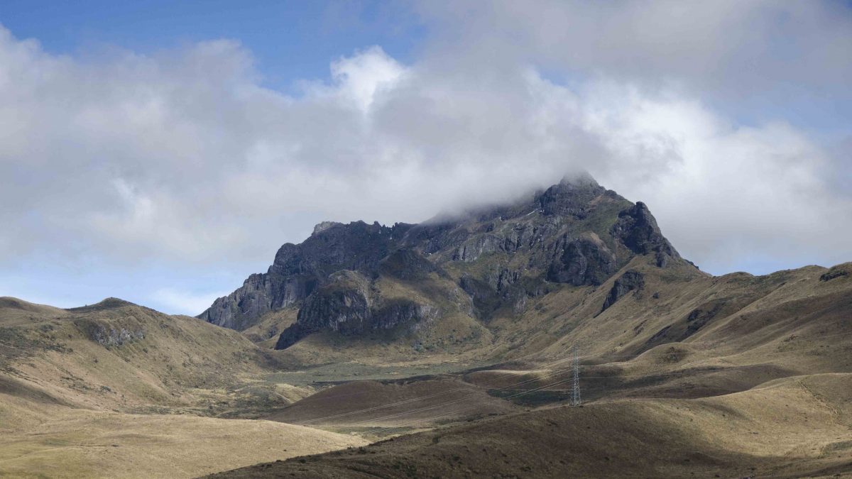
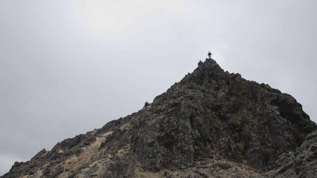
My son was better prepared to make a run for it. He took off ahead while I waited below. I snapped a photo of him high above, thinking he was on the summit. He later told me that it was a little further than that, but only about another kilometer more. Luckily, we hiked far enough fast enough that he was able to see the view from the highest point of Rucu Pichincha with unimpeded views. A short time later, the clouds rolled in.
The trip down was uneventful but very, very long. It was tough on my tired legs and especially hard on my knees. I was thankful I turned around and rested when I did. For the younger and healthier among us, don’t underestimate the difficulty of this hike. Just make sure to hike prepared!
TIPS FOR HIKING RUKU PICHINCHA
My advice to all of those hiking in the Andes, not just Ruku Pichincha, is to take everything you might need. This might sound like common sense, but we see hikers all the time in Ecuador that do not have the most basic supplies. Few carry rain gear despite rapid changes in weather. Many wear normal tennis shoes rather than well-soled boots, making downhill treks in scree near impossible without relying on one’s rear end. That said, here is our short list of must carry items:
- Water – enough for a full-day hike. There are no streams to refill bottles.
- Food – high energy snacks are better than full meals. High altitude takes away your appetite but not your need for energy.
- Rain gear
- Cold Weather Layer – winds and weather change rapidly
- Good boots for hiking
- A map, or better yet hire a local guide if you plan to hike beyond the summit – however, if the fog or a storm rolls in, consider turning back. There are side branches to this trail that have caused people to lose their way in bad weather.
- A pair of gloves for climbing (not necessary but could help on the rocky ascent)
This article was originally published on November 11, 2014. It has been updated and improved for grammar and formatting.










I will be in Ecuador early July 2018 and plan a hike of RUCU Pichincha to acclimatise for other climbs I intend to do. I am from Ecuador and have climbed RUCU about 50+ times.
If you are interested, please write me at infocuspix@yahoo.com
Hi Cristobal! Your experience on Rucu is impressive! Are you a guide? If so, consider registering with our website so that our followers can learn more about your services before sending an email. Most North American tourists prefer to have some knowledge, either by word-of-mouth or an online profile with reviews, before hiring a guide.
Green with envy AJ!
Good news for you from an old mountain rescue hand; You are done with altitude “complications”. You have lived at altitude long enough for your body to adapt. Quito is at 10K so your red blood count is now sufficient to insure adequate oxygen transfer up to about 15-16K indefinitely, and up to 18-19K short-term.
Enjoy! You might consider a vacation to Kilimanjaro!
So maybe you can tell us what happens when we visit sea level for a couple of days? Do we reset 100% or just slightly? Most in the family still feel some symptoms when returning from sea level and it’s turning into quite the debate. My youngest son thinks it is psychological at this point but then he rarely feels the symptoms any more!
Your body starts to degrade slowly, usually takes about 6 months. I’m lucky, I’m not too subject to it. My one experience was 30 years ago when I foolishly decided to do a 48 hour trip from San Diego to Mt Whitney. At about 13,500′ I went down hill fast, Literally and figuratively!
Another occasion on Whitney I encountered three French speakers, one clearly had a version of AS known as High Altitude Encephalopathy. All I could do was to point downhill and say “mas rapido”. He made it out OK.
A lot of people resorted to diuretics on searches, I never needed them.
I’ve seen people on Cotopaxi with clear symptoms of altitude sickness and recommended that their tour guide take them down. College students for the most part with guides that just aren’t paying attention. Their friends look at me like I’m crazy when I tell them to skip the pretty view and get their friend back down the mountain. But with altitude, it is always better to err on the side of caution!
Never heard of diuretics helping… what are they supposed to do? Some guides here bring out the oxygen but a guide of ours on the Inca Trail said oxygen only sets you back to your starting point and your body has to go through it all over again. For a single trip, not so bad, but if you’re going to live at altitude, seems like a waste of time.