First published on May 1, 2018 • Last updated on April 18, 2022
This page may contain affiliate links; if you purchase through them,
we may receive a small commission at no extra cost to you.
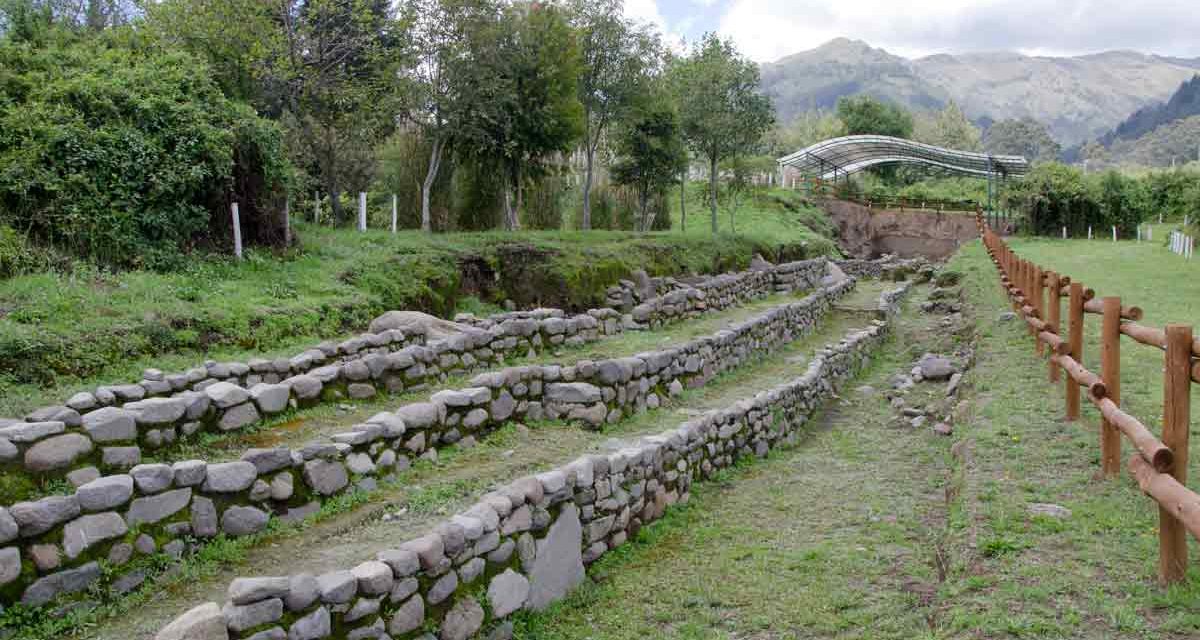
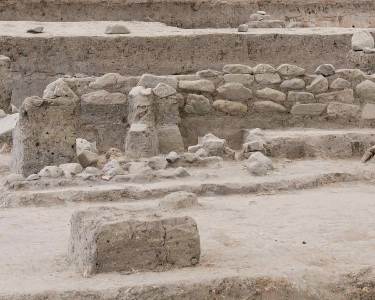
For those looking to learn about the ancient cultures of Ecuador, Rumipamba Archeology Park makes an excellent starting point. Archeologists have uncovered ruins dating from 1500 BCE to 1500 CE, a time period encompassing civilizations like the Quitu-Cara.
Meaning of Rumipamba
The word Rumipamba has a long history in the Quito area. A large ravine originating on the slopes of the Pichincha Volcano shares the name as does the neighborhood where the archeology park now resides. Although no one remembers who first used the word, its origins are definitely Quichua:
rumi (rock or stone)
+
pamba (plain or field)
=
Rumipamba (rocky field)
History of Rumipamba
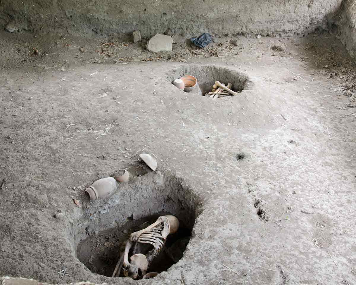
In 1990, a real estate developer intended to build apartments on this land. However, when a workman discovered human remains in ceramic pots, plans quickly changed.
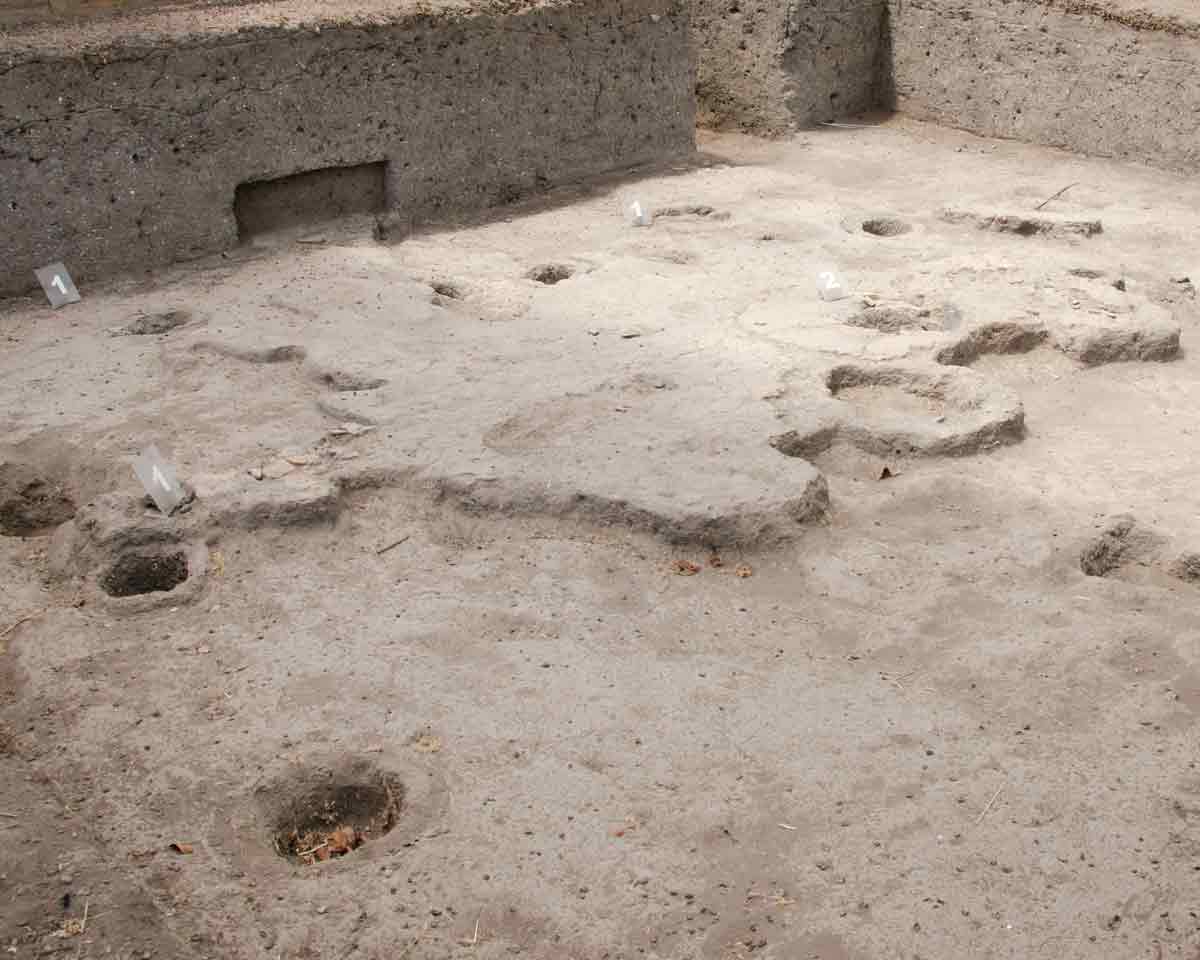
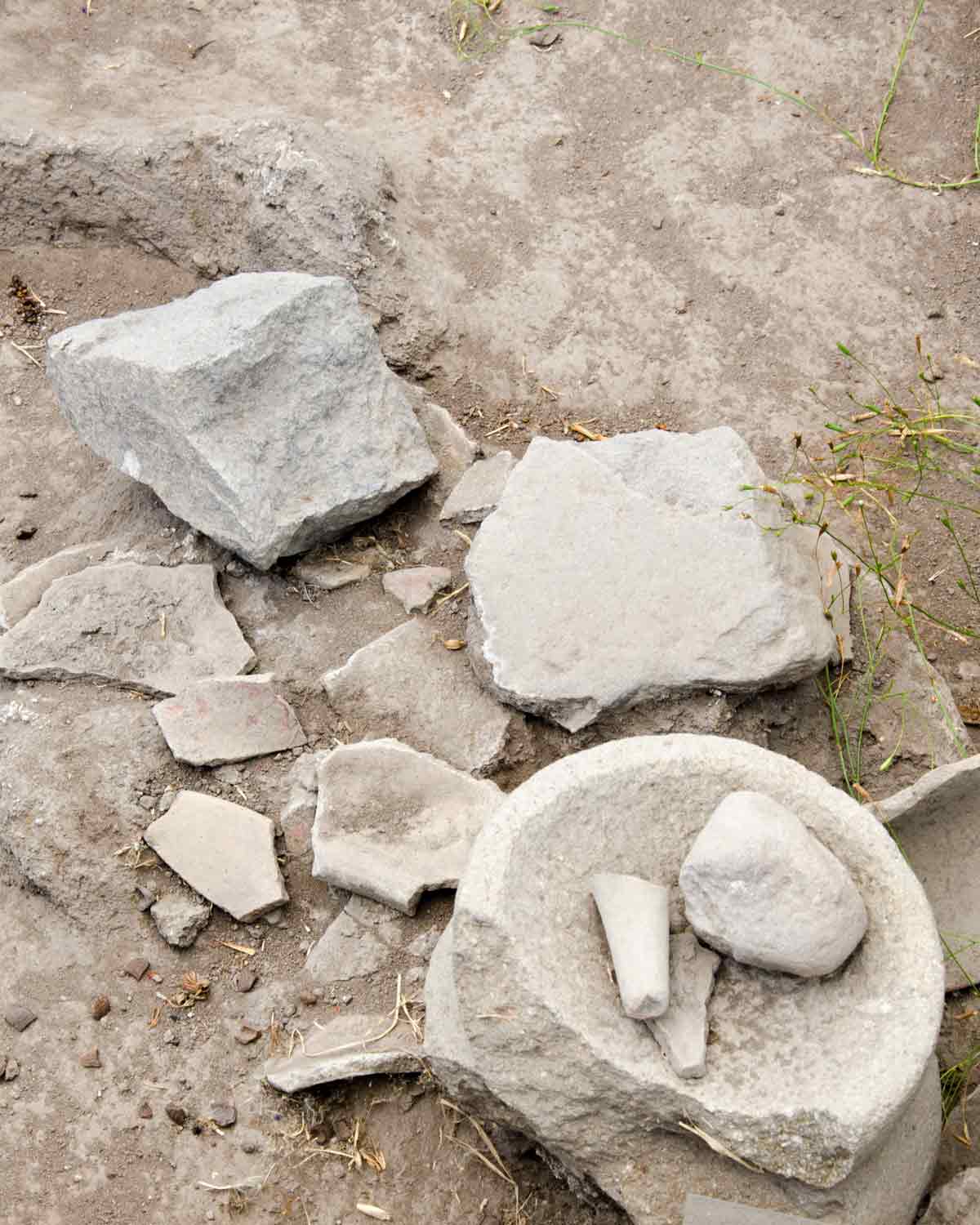
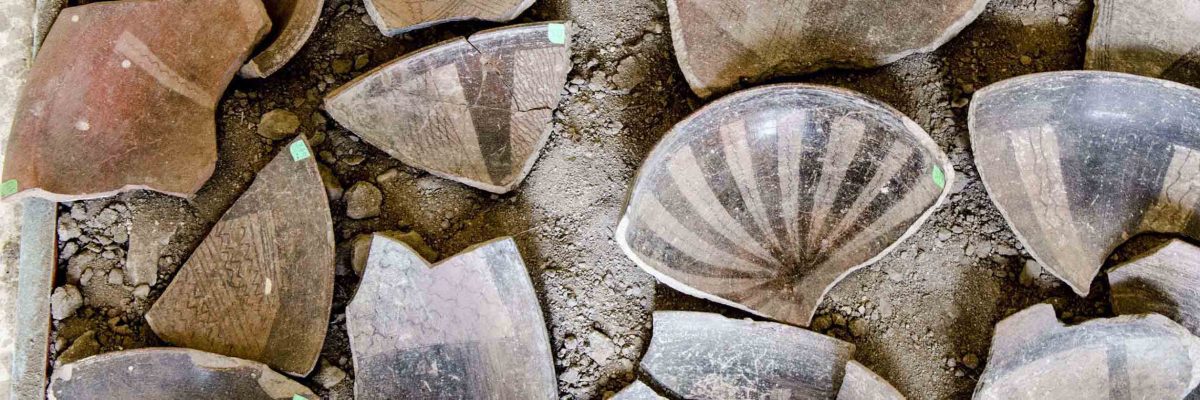
Consequently, Ecuadorian archeologist Alfredo Santamaría recommended excavation of the site. His team discovered graves, pottery, and tools that led archeologists to believe that not only were people buried on this land but that more than one civilization thrived here.
The city of Quito declared Rumipamba a local heritage site. Eventually, it became an open-air archeology museum of 32 hectares in 2001.
The Ruins at Rumipamba
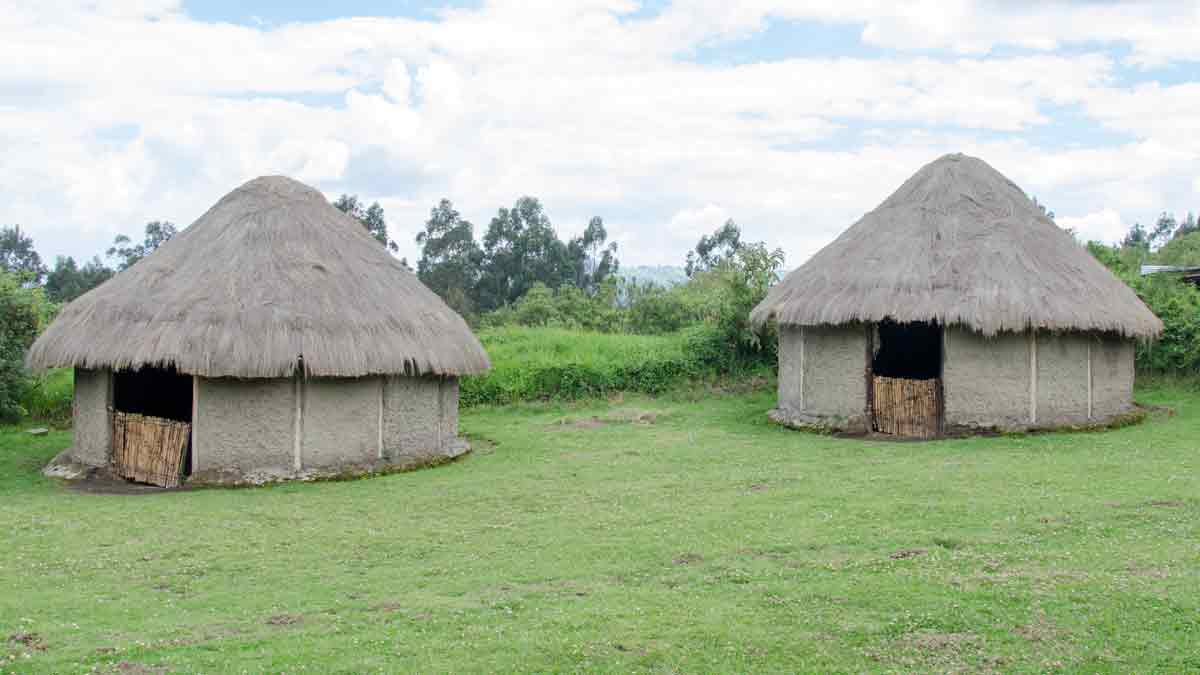
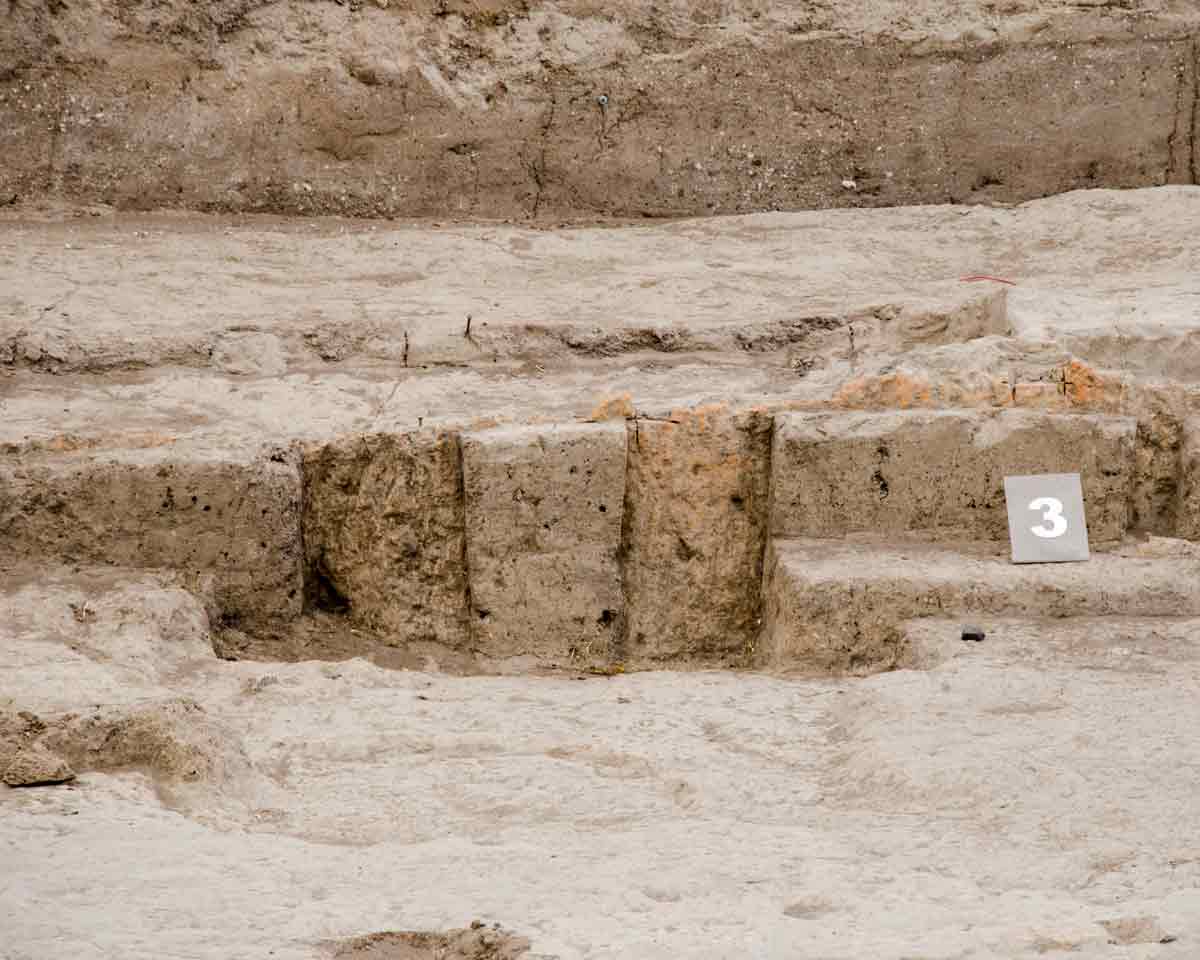
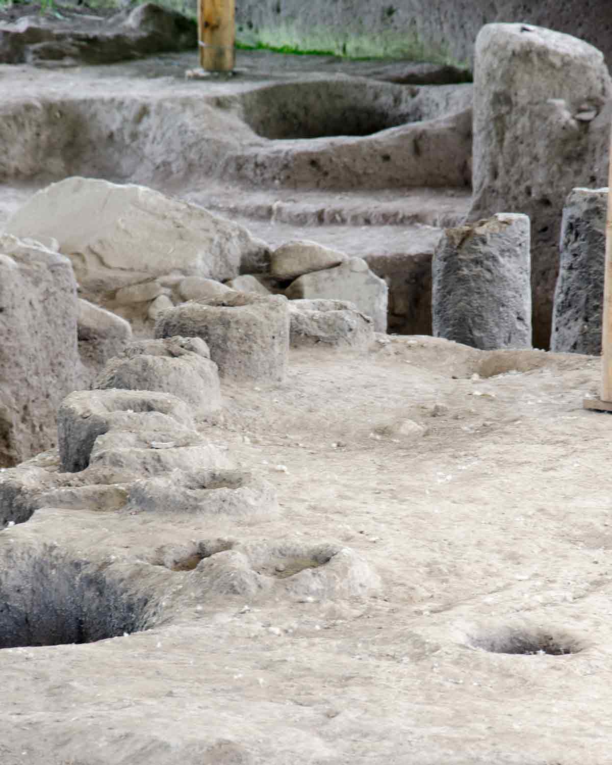
Archeologists have found evidence of three distinct cultural time periods. the Late Formative (1500 BCE to 500 BCE) shows signs of ancient tools. The Regional Development (500 BCE to 500 CE) is marked by deep tombs like those found in neighborhood La Florida further north in the city. Many of the pottery remains, especially those found with tripod feet, are typical of this time period as well. Finally, the Integration Period (500 CE to 1500 CE) is defined by the discovery of well-built huts as well as a few shallow graves atypical of the earlier Quitu.
There are some indications that the neighboring Yumbo maintained their classic trails in this region as well. These trails, called caluncos, maintained connections between the high Sierra and the Pacific Coast.
The Trails at Rumipamba
Today, a walking trail connects several covered excavations, many of which remain in progress. Modern-day scientists hope to learn more about the volcanic eruptions that forced ancient tribes to relocate. A pair of replica huts built of wood and adobe walls and thatched with straw make it easier for visitors to imagine what this location may have looked like in ancient times. Moreover, a hands-on interpretive display invites children to to be archeologists with a sample excavation complete with tools and pretend artifacts.
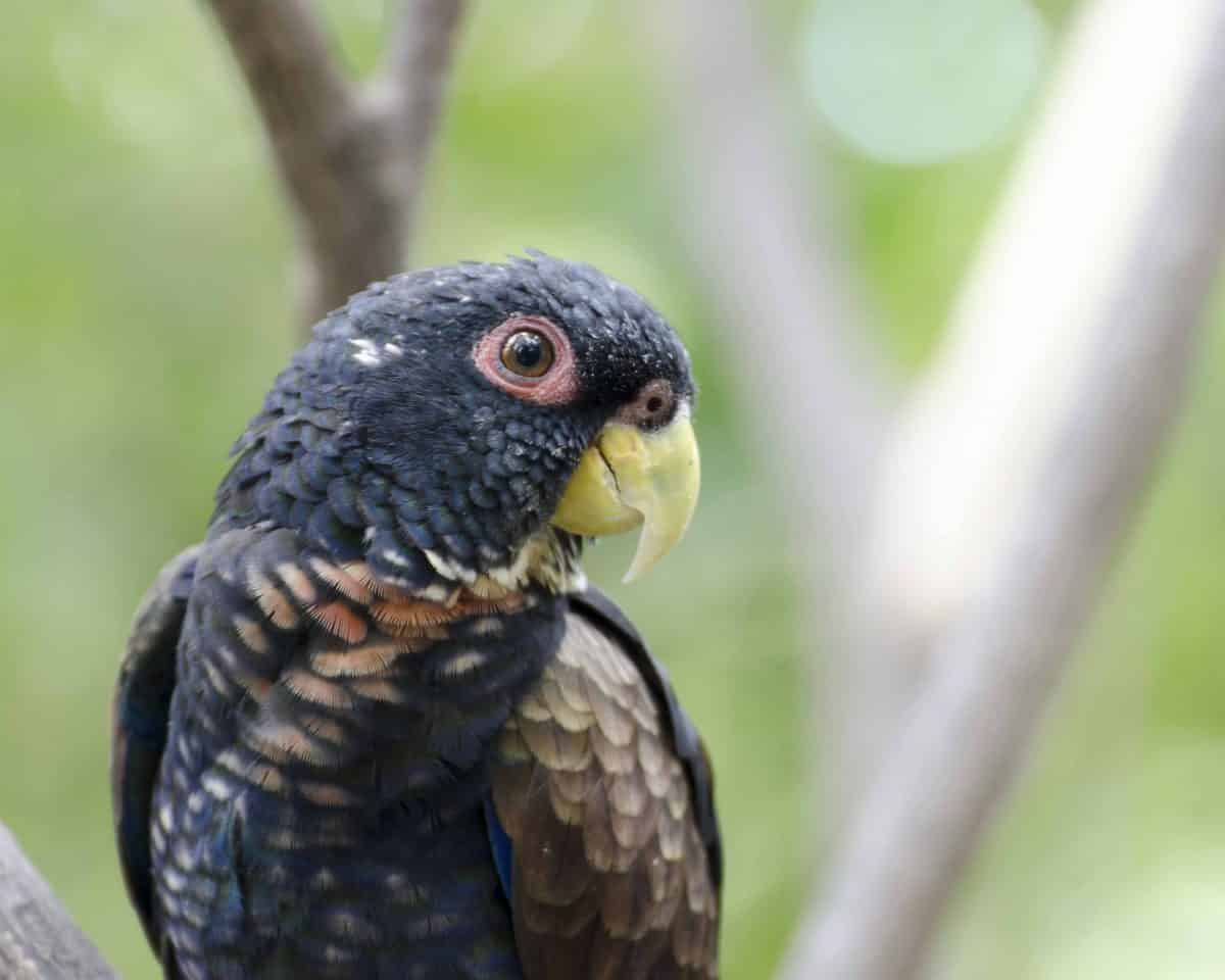
Rumipamba is a great park for exploration and not just of the historic kind. Native vegetation like wild gooseberry and myrtle trees provide habitat for many bird species. Early morning and late afternoon hikes are the best for spotting songbirds like finches and tanagers.
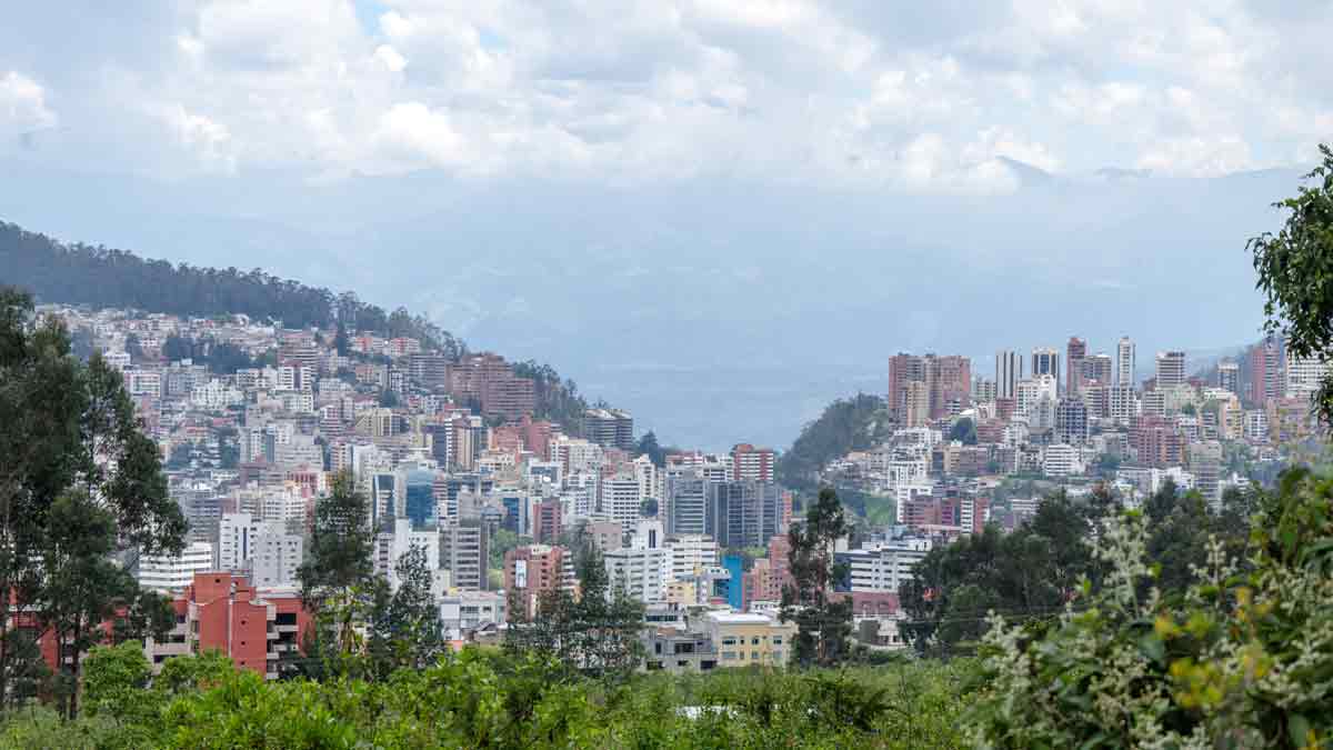
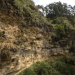
This rocky landscape also provides an excellent height from which to view large portions of north and central Quito. Several viewing points look out past the towering apartment buildings of the Monteserrin and Gonzalez Suarez neighborhoods into the valley beyond Cumbaya.
Rumipamba Archeology Park
Information For Your Trip
Entrance is free. The park is open Wednesday through Sunday from 9am until 4pm. We recommend close toed shoes for the gravel lined trails.
- Direction by Car, use WAZE and look for Parque Arqueologico Rumipamba, Pichincha, Ecuador.
- Direction by Public Transportation for buses around Quito, use the Google Map link and click on get directions. Use the public transportation option to find the best from your current location.

