First published on July 27, 2018 • Last updated on July 27, 2018
This page may contain affiliate links; if you purchase through them,
we may receive a small commission at no extra cost to you.
Starting the Trail to El Palto
Since we were unsure of the terrain or the condition of the trail, my teenage son and I decided that we didn’t need a couple of kilometers of road hiking to start our day. Of course, I had also promised a late start at least one morning. After all, it was his vacation too!
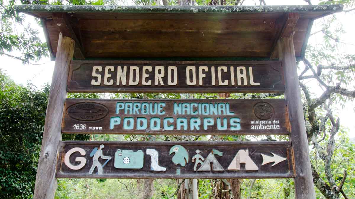
In order to make up for sleeping in, we took a local taxi from our lodging in Vilcabamba to the trailhead. We were pleased to see a well-marked entrance sign… always a good start to a backcountry hike in Ecuador! We hit the trail at about 11:00 am.
The Lower Trail
The trail is a fairly consistent uphill that meanders through the countryside. We passed the occasional farmhouse. We found most properties were set back fairly far from the trail. However, one home close to the trail had a cadre of dogs guarding its access point. They loudly barked and growled from the front porch as we walked by. While menacing, this pack seemed well-trained and kept their distance as we walked by.
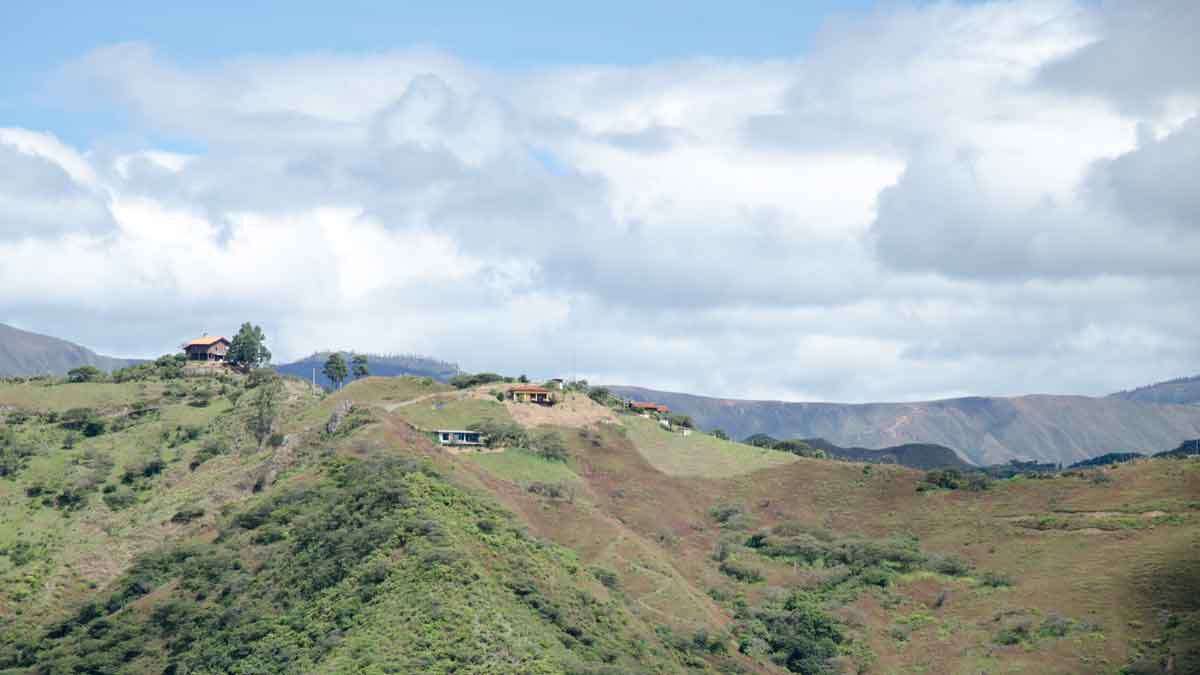
Occasionally, the views opened up to reveal neighboring hillsides. We were surprised to find that many mountain tops sported new homes and freshly cut down forests. Vilcabamba has long been a favorite destination for retiring international expats and Ecuadorians alike. Too many people want to own their special plot of land with a view which, ironically, takes the view from someone else.
The Upper Trail
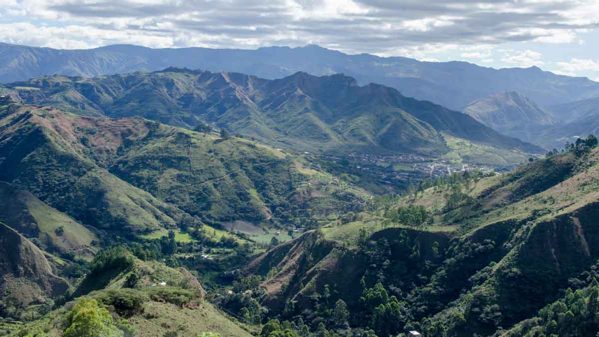
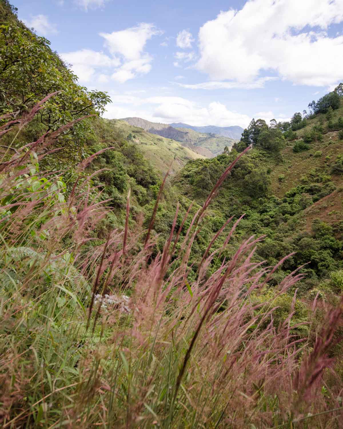
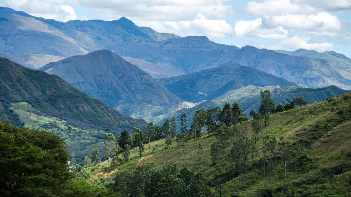
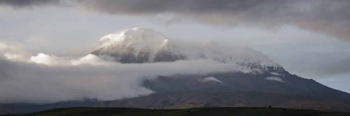
Eventually, the wooded countryside gave way to more wide open spaces where we could see the glorious southern Ecuadorian Andes.
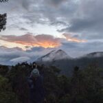
The southern mountains of Vilcabamba have softer lines and lower profiles than those near Quito. They also have a color palette all their own, deep rosy purples and rust iron reds alternate with the everchanging shades of green. As the sky changed from cloudy to clear, the colors became more vibrant.
But the best views were a couple of miles into the hike. We reached a height where we could look back to our starting point and see layers of mountains in the distance with a tiny Vilcabamba tucked into the valley below.
The Gates
Just after the highest point on the trail, we found our first gate. A local map told us to stay to the left, so we did. For your future hike, check out the link to this map.
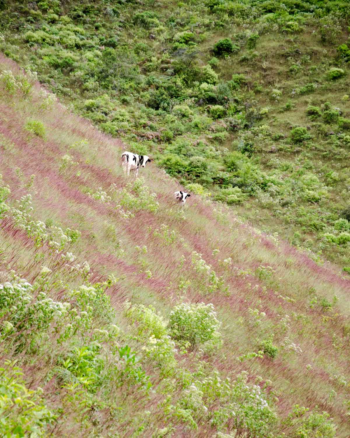
This gate served a dual purpose. First, it marked a split in the trail. The trail to the right led to the top of the mountain. While I’m sure that is also a beautiful hike, it won’t help you find Cascada El Palto. So pass through this gate. And then close it. Why? Because this gates second purpose was to prevent cattle from wandering away from home.
The pastureland at this altitude was heavily colored by purple-hued grasses waving in the wind. Called yaragua, this native grass provides the burgundy tones seen on distant mountains. Locals told us that the grass is the most colorful in early spring, providing a change in seasonal color that is often lacking near the Equator.
At this point, we were about two-thirds of the way to the waterfall, though we couldn’t be sure. We hiked through more pastureland, more forest, and we forded a small stream. We passed an actual farm with people working in the field. And then we came to a wide-open field and could hear the sound of a crashing waterfall.
Cascada El Palto
The sound was amazing but we couldn’t see water to save our lives. We walked towards the roar of water to finally figure out that the waterfall was BELOW us, not above. We needed to hike down a very steep, narrow, and muddy trail. The entire way, we still couldn’t see this noisy waterfall. We maneuvered a muddy, torn-up section of the trail with the help of a welcoming rope that someone had attached to a tree. It provided stability as we made our way down the slippery trail cum mini-landslide.
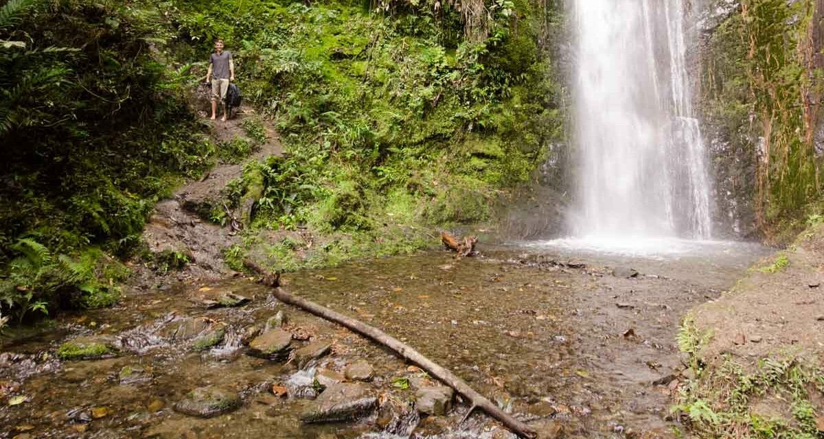
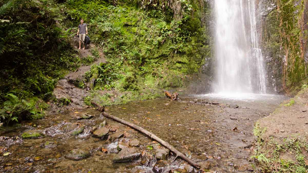
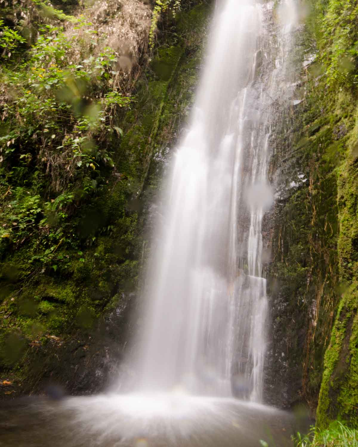
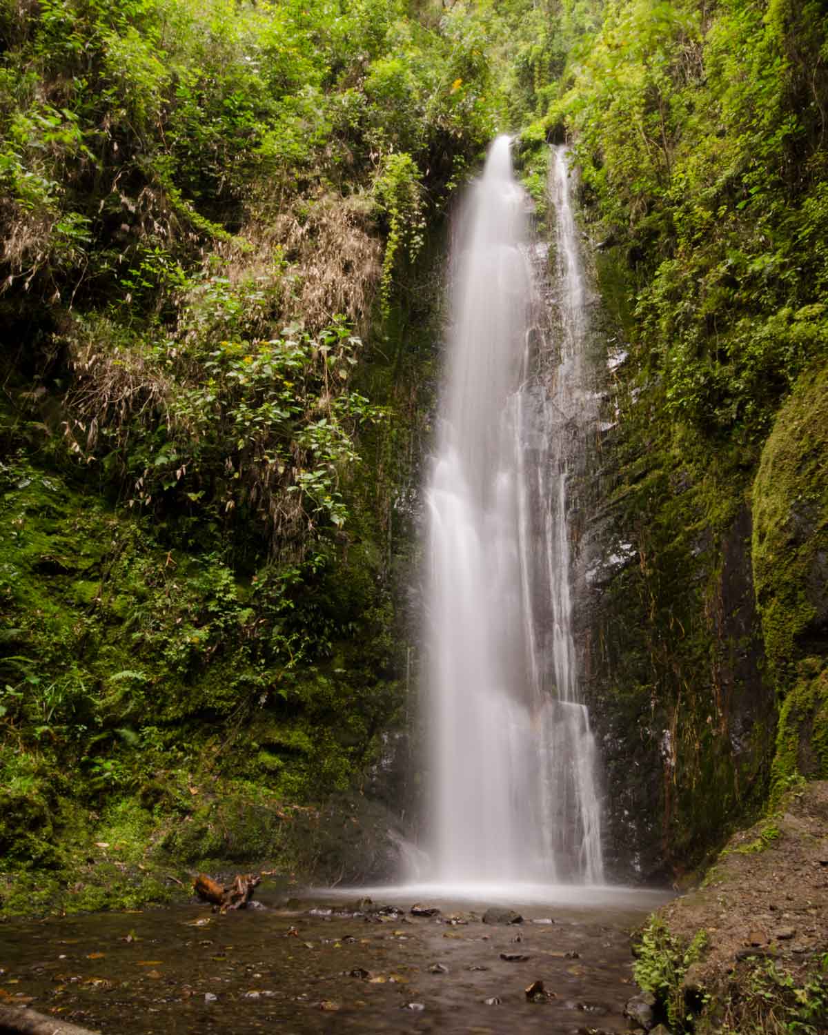
Then out of nowhere, there we stood facing a waterfall cascading down a rocky mountain face dressed in mossy green.
We crossed the stony river bottom to the other side in order to take in the best views of the Cascada El Palta. While not an incredibly tall waterfall, it is a beautiful veil of white in a sea of luxurious green. The surrounding air is full of mist and felt refreshingly cool after our strenuous uphill hike.
I only wished we had started our hike earlier in the day. This was the perfect place to enjoy an afternoon picnic and spend some time resting tired feet in the cool water. Alas, we had to pick up and run, or at least rapidly hike down the mountain, to beat the fading day.
A Hike of 5 Hours
My son and I spent some time taking photos and video of our final destination before heading back. The trip back down follows the same trail as the trip up. We found ourselves hiking extra fast to beat the sun set. We ended up arriving in plenty of time, reaching the trailhead at about 4:30 pm, spending a total of 5 hours exploring this little corner of Vilcabama.
If you would like to see his version of our hike in video format, check out his YouTube channel.
Cascada El Palto
Trailhead for the Cascada El Palto
Information For Your HIKE
- This route has been mapped on Wikiloc and on Vilcahike.
- Please take plenty of water and pack high energy snacks.
- We recommend wearing good shoes or boots for hiking.
- Be prepared for stony river bottoms: bring a pair of water shoes, sandals, boots, for crossing shallow water. Those without sensitive feet can go barefoot.

